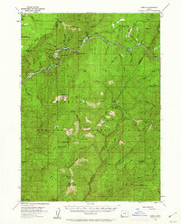
1954 Map of Marial
USGS Topo · Published 1962About this map
Marial sits at the heart of this mid-century survey, positioned along a sharp bend of the Rogue River within the Siskiyou National Forest. The landscape is defined by the river’s deep canyon and the seasonal camps used by foresters and travelers, including Squirrel Camp, Buck Camp, and Fish Hook Camp. Topographic details reveal the primitive transportation network of the early 1950s, featuring a Landing Field near the river and several lookouts, including a Lookout (Aband) near Bobs Garden Mtn. Natural landmarks like Stair Creek Falls and Inspiration Point highlight the wilderness character of the area where the Coos and Curry county lines converge. The map also records early resource extraction attempts, such as the Prospect noted on the northern slopes of Mule Mtn.
Find a feature on this map
80 named features on this map. Tap any name to fly to it.
Don’t see what you’re looking for? This feature index may not catch every label — zoom into the map to look around manually.
Map Details
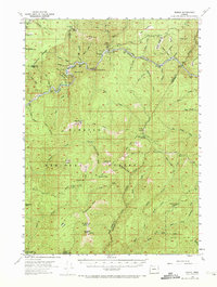
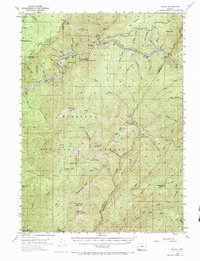
Editions of this 1954 Marial Map
4 editions found

Other maps of this area

1899 · Port Orford
USGS Topo · 1:125,000

1903 · Port Orford
USGS Topo · 1:125,000

1917 · Kerby
USGS Topo · 1:125,000

1918 · Kerby
USGS Topo · 1:125,000

1945 · Kerby
USGS Topo · 1:125,000

1946 · Galice
USGS Topo · 1:62,500

1946 · Dutchman Butte
USGS Topo · 1:62,500

1948 · Galice
USGS Topo · 1:62,500

1948 · Dutchman Butte
USGS Topo · 1:62,500

1954 · Coos Bay
USGS Topo · 1:250,000