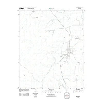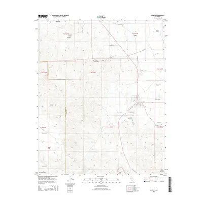
1950 Map of Maricopa
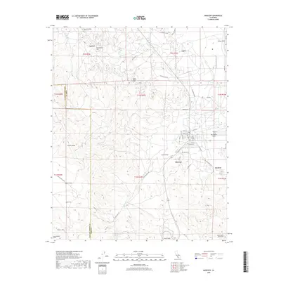
USGS Topo · Published 1965About this map
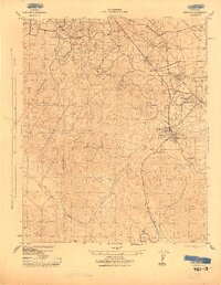
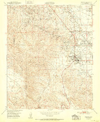
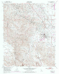
The Temblor Range and the industrial activity of the southern San Joaquin Valley meet in this mid-century survey. While the western portion of the map is defined by the high, ridged terrain of the mountains and the high-desert expanse of Elkhorn Plain and Beam Flat, the eastern edge reveals a landscape transformed by the petroleum industry. Concentrated clusters of Oil Wells and a complex network of pipelines dominate the lowlands of Midway Valley. At the foot of the hills, Maricopa serves as a central hub, supported by the Norwalk Oil Refinery and the nearby Maricopa Airport. The map also captures small, specialized settlements like Spellacy and Hazelton, which were established to support the surrounding energy production. A prominent north-south line indicates the San Luis Obispo Co Kern Co boundary, which cuts through the rugged slopes of the Signal Hills.
Find a feature on this map
19 named features on this map. Tap any name to fly to it.
Don’t see what you’re looking for? This feature index may not catch every label — zoom into the map to look around manually.
Map Details
Editions of this 1950 Maricopa Map
2 editions found
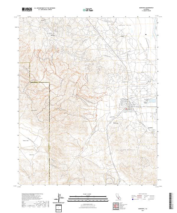
Historical Maps of Taft Through Time
8 maps found