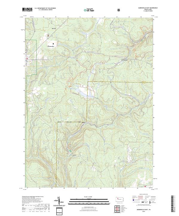
2023 Map of Marienville East
USGS Topo · Published 2023About this map
Allegheny National Forest encompasses much of this landscape, defining a region characterized by deep creek valleys and a dense network of recreational paths. The settlement of Marienville serves as a primary hub in the northwest, near the North Forest Cem. To the east, the small community of Lamonaville sits near the headwaters of Wolf Run, while Loleta occupies a southern valley along the East Branch Millstone Creek. The terrain is etched by numerous drainages, including McCray Run and Brush Creek, which feed into the Millstone Creek system. Modern land use is evident in the extensive trail systems, such as the Buzzard Swamp Hiking Trl and various snowmobile connectors, highlighting the transition from early resource extraction to a protected recreation area. Geographically, the map also tracks the boundary between Forest County and Elk County near Buzzard Swamp.
Find a feature on this map
54 named features on this map. Tap any name to fly to it.
Don’t see what you’re looking for? This feature index may not catch every label — zoom into the map to look around manually.
Map Details
Editions of this 2023 Marienville East Map
This is the sole edition of this map. No revisions or reprints were ever made.
Other maps of this area

1918 · Loleta
USGS Topo · 1:62,500

1934 · Kane
USGS Topo · 1:48,000

1935 · Sheffield
USGS Topo · 1:48,000

1936 · Marienville
USGS Topo · 1:48,000

1939 · Kane
USGS Topo · 1:62,500

1940 · Hallton
USGS Topo · 1:48,000

1941 · Sheffield
USGS Topo · 1:62,500

1941 · Marienville
USGS Topo · 1:62,500

1943 · Hallton
USGS Topo · 1:62,500

1957 · Warren
USGS Topo · 1:250,000
Featured Places
- Millstone Township, PA
- Barnett Township, PA
- Lamonaville, Jenks Township
- Marienville, Jenks Township
- Loleta, Millstone Township