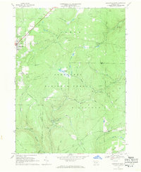
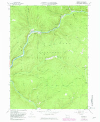
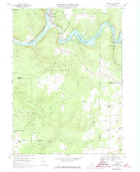
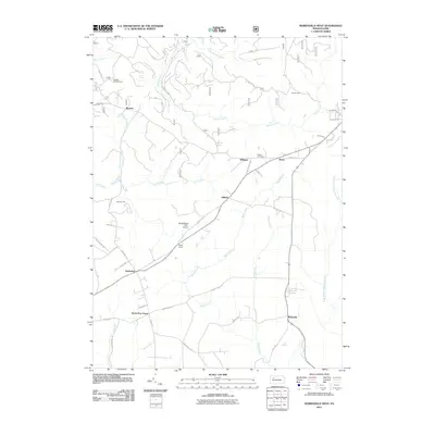
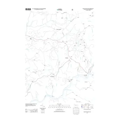
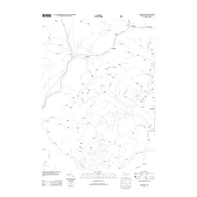
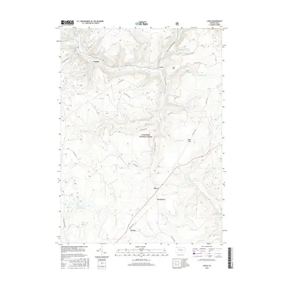
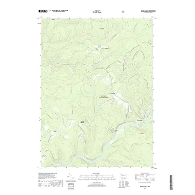
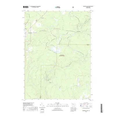
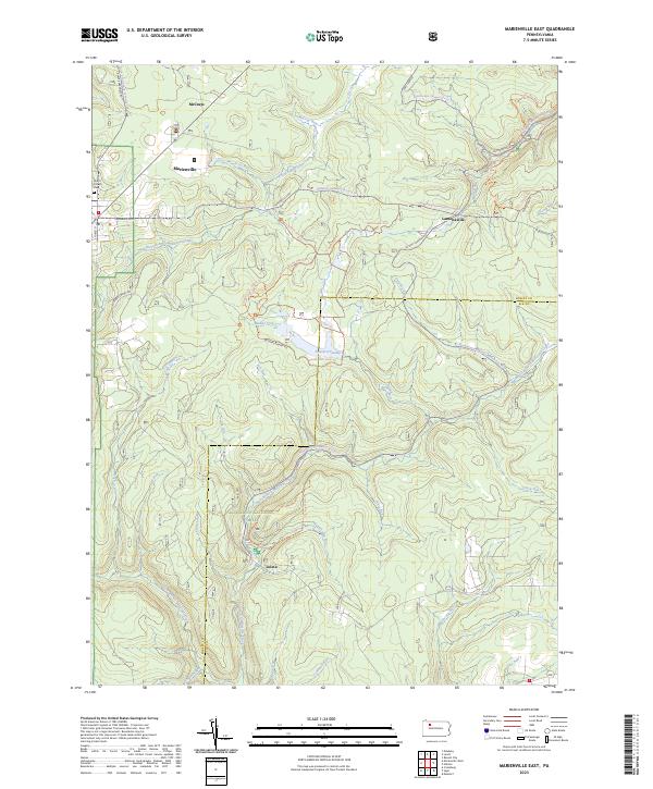
1967 Map of Marienville East
USGS Topo · Published 1971About this map
The Allegheny National Forest dominates this 1967 survey, revealing a landscape defined by industrial extraction and recreational development. A dense network of gas wells and pipelines cuts through the timbered drainages of Millstone Creek and Lick Run, showing the footprint of energy production in Forest and Elk Counties. The Baltimore and Ohio railroad corridor serves the primary settlement at Marienville, passing a water tank and a nearby gravel pit that speak to the infrastructure of the era.
Find a feature on this map
35 named features on this map. Tap any name to fly to it.
Don’t see what you’re looking for? This feature index may not catch every label — zoom into the map to look around manually.
Map Details
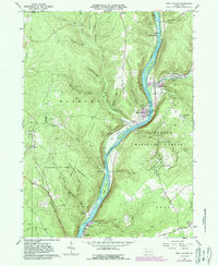
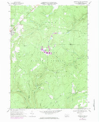
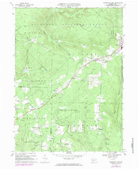
Editions of this 1967 Marienville East Map

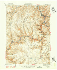
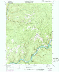
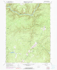
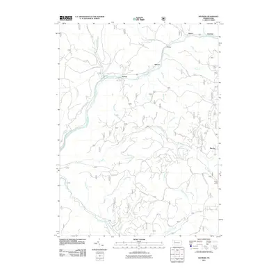
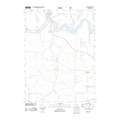
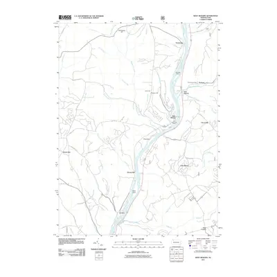
Historical Maps of Millstone Township Through Time
46 maps found

1918 Loleta
Forest County, PA

1935 Sheffield
Forest County, PA
1941 Sheffield
Forest County, PA
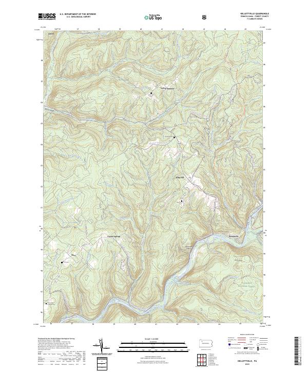
1966 Kellettville
Forest County, PA
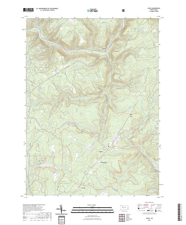
1966 Lynch
Forest County, PA
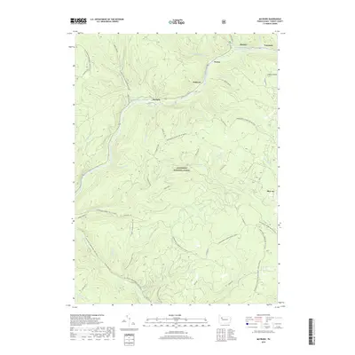
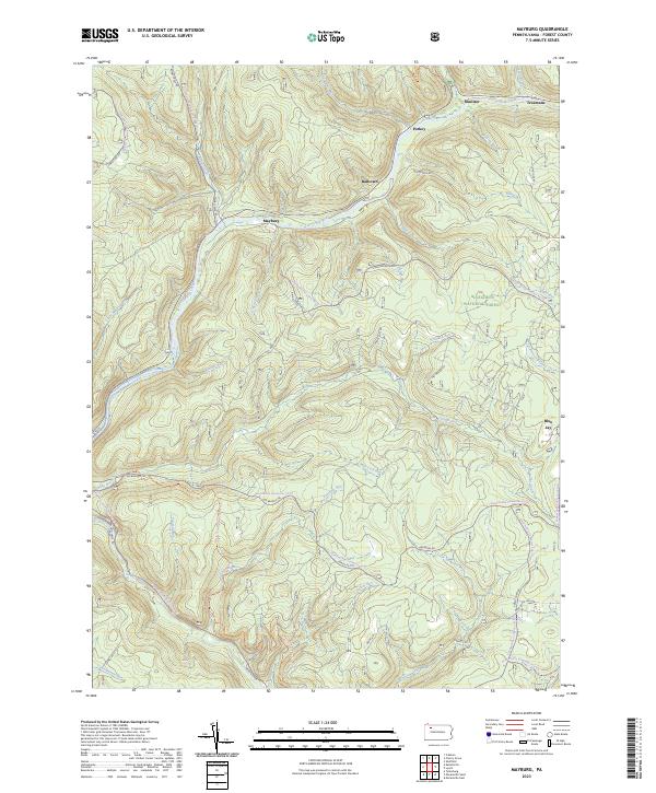
1966 Mayburg
Forest County, PA
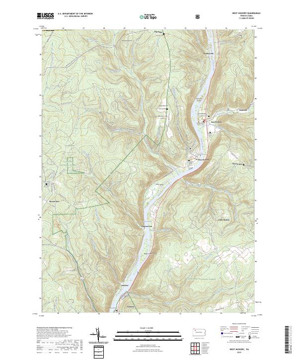
1966 West Hickory
Forest County, PA
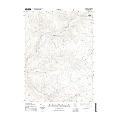
1967 Marienville East
Forest County, PA
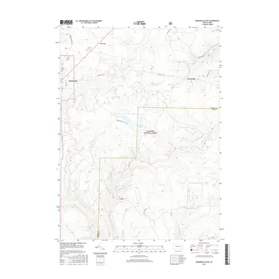
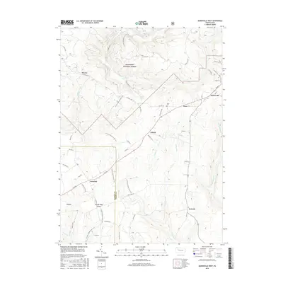
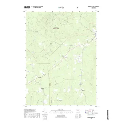
1967 Marienville West
Forest County, PA
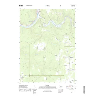
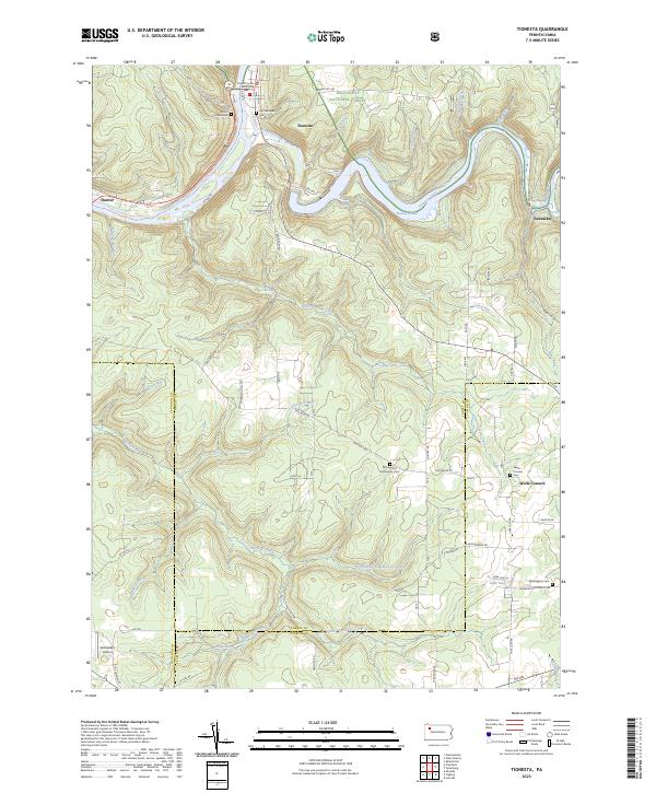
1967 Tionesta
Forest County, PA

1997 West Hickory
Forest County, PA
2011 Kellettville
Forest County, PA
2011 Lynch
Forest County, PA
2011 Marienville East
Forest County, PA
2011 Marienville West
Forest County, PA
2011 Mayburg
Forest County, PA
2011 Tionesta
Forest County, PA
2011 West Hickory
Forest County, PA
2013 Kellettville
Forest County, PA
2013 Lynch
Forest County, PA
2013 Marienville East
Forest County, PA
2013 Marienville West
Forest County, PA
2013 Mayburg
Forest County, PA
2013 Tionesta
Forest County, PA
2013 West Hickory
Forest County, PA
2016 Kellettville
Forest County, PA
2016 Lynch
Forest County, PA
2016 Marienville East
Forest County, PA
2016 Marienville West
Forest County, PA
2016 Mayburg
Forest County, PA
2016 Tionesta
Forest County, PA
2016 West Hickory
Forest County, PA
2019 Kellettville
Forest County, PA
2019 Lynch
Forest County, PA
2019 Marienville East
Forest County, PA
2019 Marienville West
Forest County, PA
2019 Mayburg
Forest County, PA
2019 Tionesta
Forest County, PA
2019 West Hickory
Forest County, PA
2023 Kellettville
Forest County, PA
2023 Lynch
Forest County, PA
2023 Marienville East
Forest County, PA

2023 Marienville West
Forest County, PA
2023 Mayburg
Forest County, PA
2023 Tionesta
Forest County, PA
2023 West Hickory
Forest County, PA
Featured Locations
- Millstone Township, PA
- Jenks Township, PA
- Barnett Township, PA
- Lamonaville, Jenks Township
- Loleta, Millstone Township