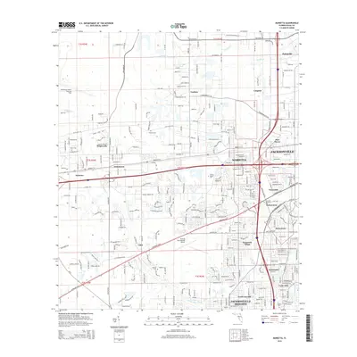
2015 Map of Marietta
USGS Topo · Published 2015About this map
The suburban and industrial expansion of western Jacksonville defines this modern landscape, where historical rural roots meet contemporary infrastructure. Neighborhoods like Marietta, Normandy, and Hyde Grove sit amidst a complex network of residential streets and transport corridors, including the heavy infrastructure of Pritchard Rd and the Westside Industrial Dr area. Aviation history is preserved through the Whitehouse Naval Outlying Field and the Herlong Recreational Airport, while the natural drainage of the Ortega River and Sixmile Cr continues to shape the low-lying terrain. Genealogists can locate family landmarks such as Sellers Cem, Pinkston Cem, and Parrish Cem, which remain as quiet reminders of the area's earlier agrarian character before its incorporation into the growing metropolitan grid.
Find a feature on this map
273 named features on this map. Tap any name to fly to it.
Don’t see what you’re looking for? This feature index may not catch every label — zoom into the map to look around manually.
Map Details
Editions of this 2015 Marietta Map
This is the sole edition of this map. No revisions or reprints were ever made.
Other maps of this area

1917 · Orange Park
USGS Topo · 1:62,500

1917 · Cambon
USGS Topo · 1:62,500

1918 · Middleburg
USGS Topo · 1:62,500

1918 · Cambon
USGS Topo · 1:62,500

1918 · Jacksonville
USGS Topo · 1:62,500

1918 · Orange Park
USGS Topo · 1:62,500

1941 · Middleburg
USGS Topo · 1:62,500

1948 · Jacksonville
USGS Topo · 1:250,000

1949 · Fiftone
USGS Topo · 1:24,000

1949 · Jacksonville Heights
USGS Topo · 1:24,000
Featured Places
- Jacksonville, FL
- Cambon, Jacksonville
- Hart Haven, Jacksonville
- Hyde Grove, Jacksonville
- Jacksonville Heights, Jacksonville