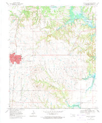
1967 Map of Marietta East
USGS Topo · Published 1971About this map
The eastern edges of Marietta and the surrounding Red River Valley landscape are defined by the Lake Texoma shoreline and the industrial infrastructure of the late 1960s. The Atchison Topeka and Santa Fe railroad runs north-south along the western edge of the map, serving as a primary transportation artery for this corner of Love County. The area’s economic character is visible through the Refinery, a Gas Plant, and numerous gravel pits, indicating an active mid-century resource extraction and processing economy.
Find a feature on this map
28 named features on this map. Tap any name to fly to it.
Don’t see what you’re looking for? This feature index may not catch every label — zoom into the map to look around manually.
Map Details
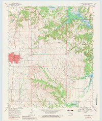
Editions of this 1967 Marietta East Map
2 editions found
Other maps of this area

1901 · Tishomingo
USGS Topo · 1:125,000

1901 · Ardmore
USGS Topo · 1:125,000

1901 · Denison
USGS Topo · 1:125,000

1902 · Gainesville
USGS Topo · 1:125,000

1918 · Ardmore
USGS Topo · 1:125,000

1943 · Gainesville
USGS Topo · 1:125,000

1954 · Sherman
USGS Topo · 1:250,000

1957 · Ardmore
USGS Topo · 1:250,000

1958 · Gordonville
USGS Topo · 1:62,500

1958 · Sherman
USGS Topo · 1:250,000