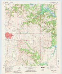
1967 Map of Marietta East
USGS Topo · Published 1983About this map
Marietta serves as the focal point of this late 1960s landscape, situated along the Atchison Topeka and Santa Fe railroad corridor. The town's grid is clearly defined, featuring the E High Sch and multiple radio towers, while the surrounding hills of Washington township rise toward landmarks like Rea Peak and Flattop Peak. This era captures the industrial footprint of the region, marked by numerous Oil Wells, a Gas Plant, and a Refinery located near the shifting banks of Lake Texoma.
Find a feature on this map
27 named features on this map. Tap any name to fly to it.
Don’t see what you’re looking for? This feature index may not catch every label — zoom into the map to look around manually.
Map Details
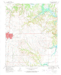
Editions of this 1967 Marietta East Map
2 editions found
Other maps of this area

1901 · Tishomingo
USGS Topo · 1:125,000

1901 · Ardmore
USGS Topo · 1:125,000

1901 · Denison
USGS Topo · 1:125,000

1902 · Gainesville
USGS Topo · 1:125,000

1918 · Ardmore
USGS Topo · 1:125,000

1943 · Gainesville
USGS Topo · 1:125,000

1954 · Sherman
USGS Topo · 1:250,000

1957 · Ardmore
USGS Topo · 1:250,000

1958 · Gordonville
USGS Topo · 1:62,500

1958 · Sherman
USGS Topo · 1:250,000