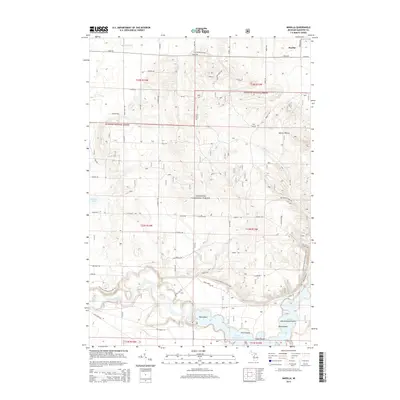
2014 Map of Marilla
USGS Topo · Published 2014About this map
The Manistee National Forest dominates this landscape in northeastern Manistee County, where the topography is defined by the winding course of the Manistee River. The river expands significantly in the southern portion of the map to form the Tippy Dam Pond, a large reservoir containing several named landmasses including Dam Island, Fitch Island, and Government Island. This area serves as a key recreational and conservation corridor, highlighted by the passage of the N Country National Scenic Trail as it follows the river valley.
Find a feature on this map
39 named features on this map. Tap any name to fly to it.
Don’t see what you’re looking for? This feature index may not catch every label — zoom into the map to look around manually.
Map Details
Editions of this 2014 Marilla Map
This is the sole edition of this map. No revisions or reprints were ever made.
Other maps of this area

1933 · Peacock NE
USGS Topo · 1:31,680

1933 · Peacock NW
USGS Topo · 1:31,680

1954 · Traverse City
USGS Topo · 1:250,000

1954 · Manitowoc
USGS Topo · 1:250,000

1956 · Onekama
USGS Topo · 1:62,500

1957 · Freesoil
USGS Topo · 1:62,500

1957 · Copemish
USGS Topo · 1:62,500

1957 · Wellston
USGS Topo · 1:62,500

1958 · Traverse City
USGS Topo · 1:250,000

1958 · Manitowoc
USGS Topo · 1:250,000