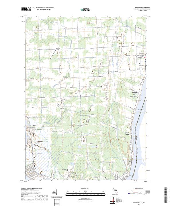
2023 Map of Marine City
USGS Topo · Published 2023About this map
The Saint Clair River defines the eastern boundary of this maritime landscape, marking the international border between the United States and Canada. Concentrated settlement follows the riverbank, from the urban grid of Marine City in the north through a string of shoreline communities including Martindale Beach, Cherry Beach, and Roberts Landing. Inland, the terrain is shaped by an extensive network of drainage channels such as the Marine City Drain and Beaverdam Drain, supporting a rural agricultural pattern punctuated by the crossroads of Starville and the Marine City Airport.
Find a feature on this map
92 named features on this map. Tap any name to fly to it.
Don’t see what you’re looking for? This feature index may not catch every label — zoom into the map to look around manually.
Map Details
Editions of this 2023 Marine City Map
This is the sole edition of this map. No revisions or reprints were ever made.
Other maps of this area

1912 · Port Huron
USGS Topo · 1:62,500

1914 · Algonac
USGS Topo · 1:62,500

1928 · Hicky
USGS Topo · 1:62,500

1929 · Port Huron
USGS Topo · 1:62,500

1936 · St. Clair
USGS Topo · 1:31,680

1936 · Rattle Run
USGS Topo · 1:31,680

1936 · New Baltimore
USGS Topo · 1:31,680

1936 · Algonac
USGS Topo · 1:31,680

1939 · New Baltimore
USGS Topo · 1:24,000

1939 · Adair
USGS Topo · 1:24,000