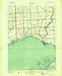
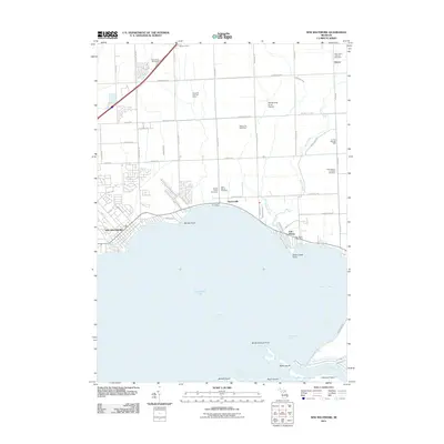
1939 Map of New Baltimore
USGS Topo · Published 1939About this map
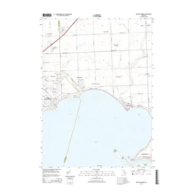
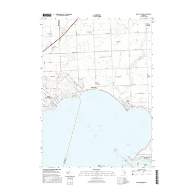
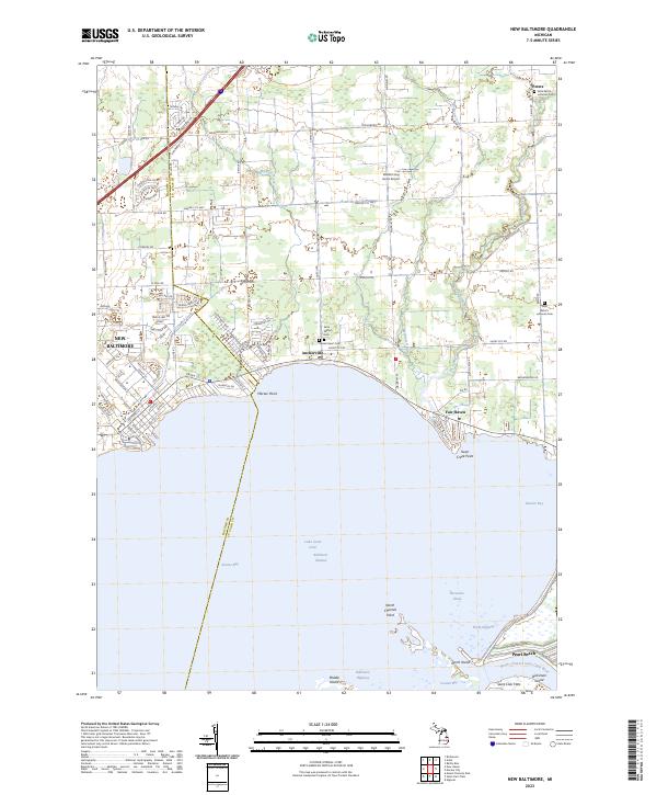
New Baltimore sits at the northern edge of Lake St Clair, anchoring a coastal landscape of marshes and deep-water channels before the onset of modern suburbanization. The shoreline transition between Macomb and St Clair Counties is defined by a series of specialized water passages leading toward Dickinson Island, including the New Baltimore Channel and North Channel. These waterways are flanked by numerous named hydrologic features such as Riverton Hy and Genoa Hy, reflecting the complex delta environment of the St. Clair River mouth.
Find a feature on this map
69 named features on this map. Tap any name to fly to it.
Don’t see what you’re looking for? This feature index may not catch every label — zoom into the map to look around manually.
Map Details
Editions of this 1939 New Baltimore Map
This is the sole edition of this map. No revisions or reprints were ever made.
Historical Maps of Chesterfield Township Through Time
9 maps found
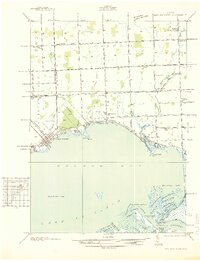
1936 New Baltimore
Macomb County, MI
1939 New Baltimore
Macomb County, MI
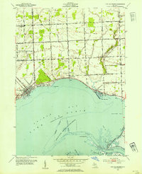
1952 New Baltimore
Macomb County, MI
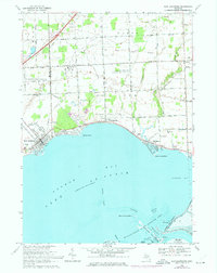
1968 New Baltimore
Macomb County, MI
2011 New Baltimore
Macomb County, MI
2014 New Baltimore
Macomb County, MI
2017 New Baltimore
Macomb County, MI
2019 New Baltimore
Macomb County, MI
2023 New Baltimore
Macomb County, MI
Featured Locations
- Clay Township, MI
- Lenox Township, MI
- New Baltimore, MI
- Chesterfield Township, MI
- Anchorville, Ira Township