
1936 Map of Selfridge Field
USGS Topo · Published 1936About this map
The waters of Lake Saint Clair meet the sprawling military presence at Selfridge Field in this 1930s coastal study of Macomb County. The landscape is defined by the complex hydrology of the Clinton River and its branches, which carve through the townships of Clinton and Harrison. This era shows a community in transition, where established infrastructure like the Mt Clemens Municipal Water Works and the Gowanic Golf and Country Club sits alongside numerous educational and medical institutions. Genealogists and local historians can locate early 20th-century neighborhood hubs such as Lakeside and St Clair Haven, as well as several rural schools including Newton Sch and the Herman Klix Sch. The map also captures the shoreline geometry near Sand Point and Compau Bay before significant late-century residential development altered the marshy drainage patterns of the Savant Drain and Gohl Drain.
Find a feature on this map
43 named features on this map. Tap any name to fly to it.
Don’t see what you’re looking for? This feature index may not catch every label — zoom into the map to look around manually.
Map Details
Editions of this 1936 Selfridge Field Map
This is the sole edition of this map. No revisions or reprints were ever made.
Other maps of this area

1905 · Grosse Pointe
USGS Topo · 1:62,500

1912 · Mt Clemens
USGS Topo · 1:62,500

1914 · Algonac
USGS Topo · 1:62,500

1918 · Grosse Pointe
USGS Topo · 1:62,500

1929 · Mt Clemens
USGS Topo · 1:62,500

1936 · New Haven
USGS Topo · 1:31,680

1936 · Waldenburg
USGS Topo · 1:31,680

1936 · New Baltimore
USGS Topo · 1:31,680
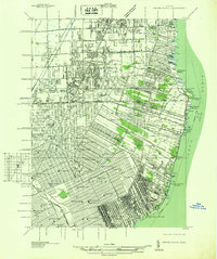
1936 · Grosse Pointe
USGS Topo · 1:31,680
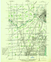
1936 · Mt Clemens
USGS Topo · 1:31,680
Featured Places
- Clinton Township, MI
- Saint Clair Shores, MI
- Harrison Township, MI
- Mount Clemens, MI
- Saint Clair Haven, Harrison Township