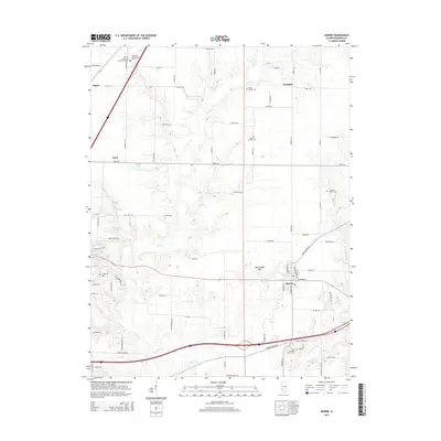
2015 Map of Marine
USGS Topo · Published 2015About this map
Agricultural lands and rural family life define the landscape around Marine, where the terrain is marked by the winding paths of Silver Cr and Sugar Fork. This Illinois survey captures a network of small settlements like Kaufman, Fruit, and Maple, connected by a grid of local roads and farm lanes. The area is notable for its numerous small, private burial grounds, including the Wood Family Cem, Seybert Family Cem, and Crandall Family Cem, which offer significant value for genealogical research and local heritage studies.
Find a feature on this map
78 named features on this map. Tap any name to fly to it.
Don’t see what you’re looking for? This feature index may not catch every label — zoom into the map to look around manually.
Map Details
Editions of this 2015 Marine Map
This is the sole edition of this map. No revisions or reprints were ever made.
Other maps of this area

1906 · Breese
USGS Topo · 1:62,500

1907 · Breese
USGS Topo · 1:62,500

1907 · Belleville
USGS Topo · 1:62,500

1927 · Edwardsville
USGS Topo · 1:62,500

1932 · Edwardsville
USGS Topo · 1:62,500

1937 · Collinsville
USGS Topo · 1:24,000

1937 · New Douglas
USGS Topo · 1:48,000

1944 · New Douglas
USGS Topo · 1:62,500

1949 · St. Jacob
USGS Topo · 1:24,000

1950 · Edwardsville
USGS Topo · 1:24,000