
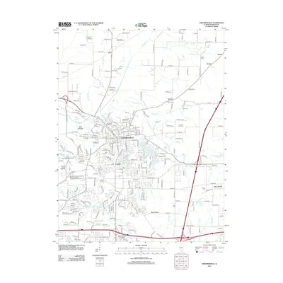
1950 Map of Edwardsville
USGS Topo · Published 1950About this map
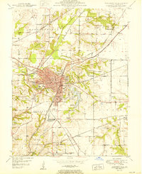
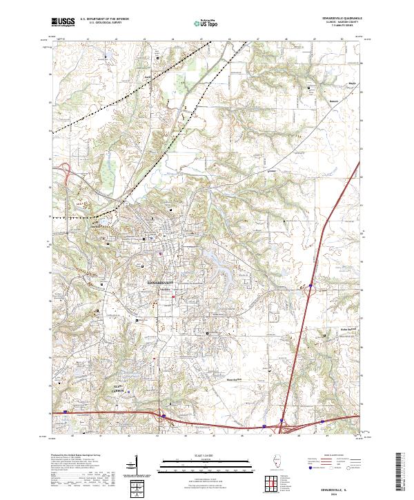
Edwardsville serves as a major hub for rail and county administration in this mid-century survey. The landscape is defined by a dense network of transit, including the Wabash, Illinois Terminal, and Litchfield and Madison railroads, which converge near Bluff Junction. The city's civic footprint is clearly detailed with the Court House, City Hall Post Office, and the County Sanitarium plotted along its central streets. South of the main settlement, Le Claire and Glen Carbon reflect the industrial and residential expansion of the era.
Find a feature on this map
65 named features on this map. Tap any name to fly to it.
Don’t see what you’re looking for? This feature index may not catch every label — zoom into the map to look around manually.
Map Details
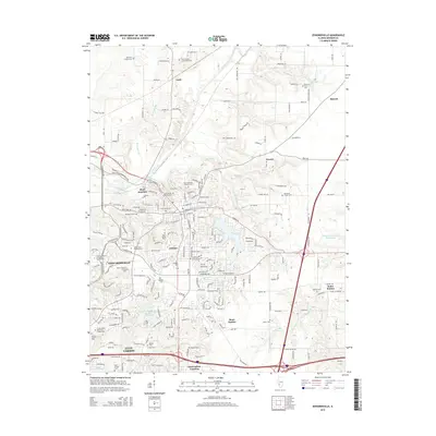
Editions of this 1950 Edwardsville Map
2 editions found
Historical Maps of Edwardsville Through Time
11 maps found

1927 Edwardsville
Madison County, IL

1932 Edwardsville
Madison County, IL
1950 Edwardsville
Madison County, IL
1954 Edwardsville
Madison County, IL
1954 Edwardsville
Madison County, IL
1991 Edwardsville
Madison County, IL
2012 Edwardsville
Madison County, IL
2015 Edwardsville
Madison County, IL
2018 Edwardsville
Madison County, IL
2021 Edwardsville
Madison County, IL
2024 Edwardsville
Madison County, IL