2024 Map of Marine
USGS Topo · Published 2024About this map
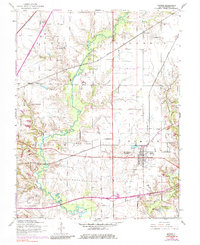
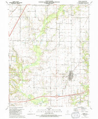
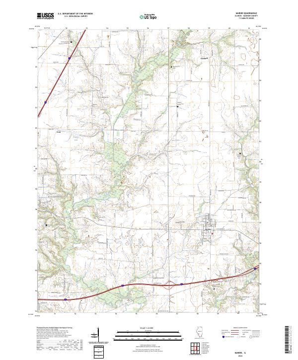
Silver Creek meanders through the heart of this Madison County landscape, defining the drainage patterns south of the settlements at Marine and Fruit. The area is characterized by a dense network of family and community heritage sites, evidenced by numerous small burying grounds such as the Wood Family Cem, Seybert Family Cem, and Daugherty Cem. These landmarks, along with the Immanuel United Church of Christ and Saint Elizabeth Catholic Church, reflect the deep-rooted social and religious history of the local farming community.
Find a feature on this map
83 named features on this map. Tap any name to fly to it.
Don’t see what you’re looking for? This feature index may not catch every label — zoom into the map to look around manually.
Map Details
Editions of this 2024 Marine Map
This is the sole edition of this map. No revisions or reprints were ever made.
Historical Maps of Marine Through Time
7 maps found