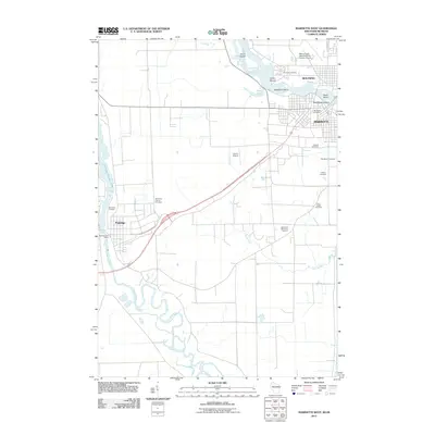
2011 Map of Marinette West
USGS Topo · Published 2011About this map
Marinette and Menominee anchor this 2011 survey, situated along the border of Wisconsin and Michigan where the Menominee River meets the bay. The map documents a corridor of infrastructure and aviation, notably the Menominee-Marinette Twin County Airport and the smaller Larson Airport to the south. Along the river, distinctive island features like Stephenson Island, Boom Island, and Blueberry Island sit near the historic Indian Mound, suggesting a landscape shaped by both natural river movements and long-standing human presence.
Find a feature on this map
25 named features on this map. Tap any name to fly to it.
Don’t see what you’re looking for? This feature index may not catch every label — zoom into the map to look around manually.
Map Details
Editions of this 2011 Marinette West Map
This is the sole edition of this map. No revisions or reprints were ever made.
Other maps of this area

1939 · Marinette
USGS Topo · 1:48,000

1939 · Porterfield
USGS Topo · 1:48,000

1942 · Porterfield
USGS Topo · 1:48,000

1954 · Escanaba
USGS Topo · 1:250,000

1954 · Manitowoc
USGS Topo · 1:250,000

1956 · Oconto
USGS Topo · 1:62,500

1957 · Escanaba
USGS Topo · 1:250,000

1958 · Escanaba
USGS Topo · 1:250,000

1958 · Manitowoc
USGS Topo · 1:250,000

1961 · Little Sturgeon
USGS Topo · 1:62,500