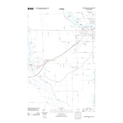
2013 Map of Marinette West
USGS Topo · Published 2013About this map
The Peshtigo River meanders toward the shore of Lake Michigan, defining the southern landscape of this Wisconsin borderland. To the north, the Menominee River serves as the state line, holding a cluster of landforms including Stephenson Island, Boom Island, and the Ansul Islands. This survey illustrates the intricate water network of the region, where the Coulter Slough and Wright Slough weave through the riverine terrain near an Indian Mound.
Find a feature on this map
109 named features on this map. Tap any name to fly to it.
Don’t see what you’re looking for? This feature index may not catch every label — zoom into the map to look around manually.
Map Details
Editions of this 2013 Marinette West Map
This is the sole edition of this map. No revisions or reprints were ever made.
Other maps of this area

1939 · Marinette
USGS Topo · 1:48,000

1939 · Porterfield
USGS Topo · 1:48,000

1942 · Porterfield
USGS Topo · 1:48,000

1954 · Escanaba
USGS Topo · 1:250,000

1954 · Manitowoc
USGS Topo · 1:250,000

1956 · Oconto
USGS Topo · 1:62,500

1957 · Escanaba
USGS Topo · 1:250,000

1958 · Escanaba
USGS Topo · 1:250,000

1958 · Manitowoc
USGS Topo · 1:250,000

1961 · Little Sturgeon
USGS Topo · 1:62,500