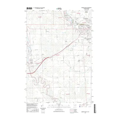
2016 Map of Marinette West
USGS Topo · Published 2016About this map
The Menominee River serves as the interstate boundary between Wisconsin and Michigan, anchoring a region defined by its complex industrial and aviation history. On the Michigan side, the city of Menominee sits across from Marinette, Wisconsin, with several islands such as Stephenson Island and Boom Island dotting the river channel. The map highlights a significant cluster of local history sites, including a large assembly of cemeteries such as Forest Home Cem and the Hebrew Cem. Aviation infrastructure is prominent, featuring the Menominee-Marinette Twin County Airport and the smaller Larson Airport further inland. To the southwest, the Peshtigo River meanders toward the Peshtigo Flowage 1086, passing the settlement of Peshtigo. The landscape is a mosaic of water and land, from the Upper Scott Flowage 1060 to an Indian Mound near the riverbanks, reflecting a long history of human presence along these waterways.
Find a feature on this map
149 named features on this map. Tap any name to fly to it.
Don’t see what you’re looking for? This feature index may not catch every label — zoom into the map to look around manually.
Map Details
Editions of this 2016 Marinette West Map
This is the sole edition of this map. No revisions or reprints were ever made.
Other maps of this area

1939 · Marinette
USGS Topo · 1:48,000

1939 · Porterfield
USGS Topo · 1:48,000

1942 · Porterfield
USGS Topo · 1:48,000

1954 · Escanaba
USGS Topo · 1:250,000

1954 · Manitowoc
USGS Topo · 1:250,000

1956 · Oconto
USGS Topo · 1:62,500

1957 · Escanaba
USGS Topo · 1:250,000

1958 · Escanaba
USGS Topo · 1:250,000

1958 · Manitowoc
USGS Topo · 1:250,000

1961 · Little Sturgeon
USGS Topo · 1:62,500