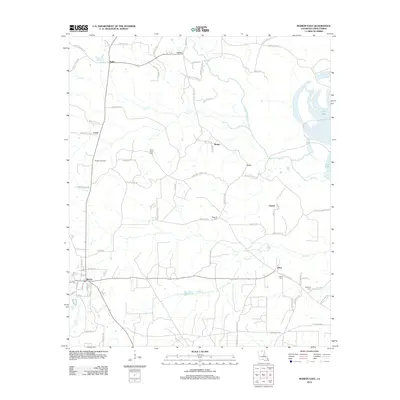
2012 Map of Marion East
USGS Topo · Published 2012About this map
The town of Marion anchors the southwestern corner of this Union Parish landscape, where a dense network of local roads connects several smaller settlements. The area is defined by its timber and resource extraction history, most notably evidenced by the Marion Gas Field and numerous family-named routes like Perry Murray Rd and Edward Smith Rd. To the north and east, the terrain is shaped by the winding paths of Cecil Cr and Glaze Cr, eventually reaching the standing waters of Fish Lake. For local historians and genealogists, the map identifies several key community landmarks, including Saint Pauls Cem, Reppond Cem, and Dean Cem. Small hamlets such as Sadie, Litroe, and Dean dot the countryside, showing the persistent pattern of rural settlement in Northern Louisiana during the early twenty-first century.
Find a feature on this map
79 named features on this map. Tap any name to fly to it.
Don’t see what you’re looking for? This feature index may not catch every label — zoom into the map to look around manually.
Map Details
Editions of this 2012 Marion East Map
This is the sole edition of this map. No revisions or reprints were ever made.
Other maps of this area

1933 · Strong
USGS Topo · 1:62,500

1934 · Felsenthal
USGS Topo · 1:62,500

1935 · Haile
USGS Topo · 1:62,500

1937 · Strong
USGS Topo · 1:62,500

1937 · Felsenthal
USGS Topo · 1:62,500

1938 · Felsenthal
USGS Topo · 1:62,500

1939 · Felsenthal
USGS Topo · 1:62,500

1939 · Strong
USGS Topo · 1:62,500

1952 · Farmerville
USGS Topo · 1:62,500

1953 · El Dorado
USGS Topo · 1:250,000