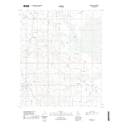
2020 Map of Marion East
USGS Topo · Published 2020About this map
Marion anchors the southwestern corner of this Union Parish survey, serving as a hub for a network of rural roads that stretch across the lowland terrain of northern Louisiana. The landscape is defined by the winding paths of Cecil Cr and Frank Luper Cr, which drain into the broader wetlands of the Ouachita River basin. Small rural settlements like Sadie, Litroe, and Dean dot the countryside, connected by thoroughfares such as State Rte 826 and numerous parish roads.
Find a feature on this map
71 named features on this map. Tap any name to fly to it.
Don’t see what you’re looking for? This feature index may not catch every label — zoom into the map to look around manually.
Map Details
Editions of this 2020 Marion East Map
This is the sole edition of this map. No revisions or reprints were ever made.
Other maps of this area

1933 · Strong
USGS Topo · 1:62,500

1934 · Felsenthal
USGS Topo · 1:62,500

1935 · Haile
USGS Topo · 1:62,500

1937 · Strong
USGS Topo · 1:62,500

1937 · Felsenthal
USGS Topo · 1:62,500

1938 · Felsenthal
USGS Topo · 1:62,500

1939 · Felsenthal
USGS Topo · 1:62,500

1939 · Strong
USGS Topo · 1:62,500

1952 · Farmerville
USGS Topo · 1:62,500

1953 · El Dorado
USGS Topo · 1:250,000