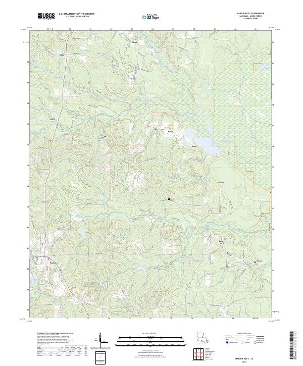
2024 Map of Marion East
USGS Topo · Published 2024About this map
The Upper Ouachita National Wildlife Refuge dominates the eastern landscape of this Union Parish survey, preserving the bottomlands where Cecil Creek and Glaze Creek flow toward the Ouachita River basin. The settlement pattern is defined by a network of rural routes such as State Rte 826 and Lasco Langston Rd, connecting small communities like Sadie, Litroe, and Dean. Local genealogy is anchored by several historic burial grounds, including the Saint Paul Cem Number 2 and the Reppond-Pace Cem. Near the southern edge, the town of Marion serves as a local hub, situated at the junction of routes leading through a terrain of low hills and wetland drainages. The map reveals the persistence of family-named landmarks and rural church sites like the Dean Baptist Church Cem, which remain central to the community's geographic identity.
Find a feature on this map
76 named features on this map. Tap any name to fly to it.
Don’t see what you’re looking for? This feature index may not catch every label — zoom into the map to look around manually.
Map Details
Editions of this 2024 Marion East Map
This is the sole edition of this map. No revisions or reprints were ever made.
Other maps of this area

1933 · Strong
USGS Topo · 1:62,500

1934 · Felsenthal
USGS Topo · 1:62,500

1935 · Haile
USGS Topo · 1:62,500

1937 · Strong
USGS Topo · 1:62,500

1937 · Felsenthal
USGS Topo · 1:62,500

1938 · Felsenthal
USGS Topo · 1:62,500

1939 · Felsenthal
USGS Topo · 1:62,500

1939 · Strong
USGS Topo · 1:62,500

1952 · Farmerville
USGS Topo · 1:62,500

1953 · El Dorado
USGS Topo · 1:250,000