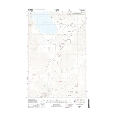
2014 Map of Marion
USGS Topo · Published 2014About this map
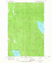
Little Bitterroot Lake dominates the northern landscape of this region, serving as a focal point for the small settlement of Marion. The area transition south from the lake's shores into the drainage of the Little Bitterroot River and the meandering Pleasant Valley Fisher River. Aviation access is notably represented by two facilities, Cabin Creek Landing Airport and Hanson Airport, reflecting the logistical needs of this mountain valley.
Find a feature on this map
56 named features on this map. Tap any name to fly to it.
Don’t see what you’re looking for? This feature index may not catch every label — zoom into the map to look around manually.
Map Details
Editions of this 2014 Marion Map
This is the sole edition of this map. No revisions or reprints were ever made.
Other maps of this area

1956 · Wallace
USGS Topo · 1:250,000

1957 · Kalispell
USGS Topo · 1:250,000

1960 · Kalispell
USGS Topo · 1:250,000

1960 · Wallace
USGS Topo · 1:250,000

1961 · Kalispell
USGS Topo · 1:250,000
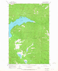
1964 · Lone Lake
USGS Topo · 1:24,000
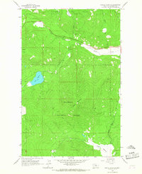
1964 · Haskill Mountain
USGS Topo · 1:24,000
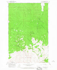
1964 · Kofford Ridge
USGS Topo · 1:24,000
1964 · Pleasant Valley Mountain
USGS Topo · 1:24,000

1964 · Hubbart Reservoir
USGS Topo · 1:24,000