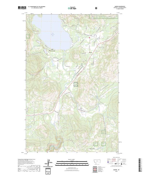
2024 Map of Marion
USGS Topo · Published 2024About this map
Little Bitterroot Lake dominates the northern reaches of this Montana landscape, acting as a focal point for the settlement of Marion. The community is situated along the eastern shore, where local infrastructure like Marion Pines Dr and Homesteaders Way suggests a modern residential character. To the south, the terrain becomes increasingly defined by the Cabinet Mountains and the winding course of the Little Bitterroot River.
Find a feature on this map
50 named features on this map. Tap any name to fly to it.
Don’t see what you’re looking for? This feature index may not catch every label — zoom into the map to look around manually.
Map Details
Editions of this 2024 Marion Map
This is the sole edition of this map. No revisions or reprints were ever made.
Other maps of this area

1956 · Wallace
USGS Topo · 1:250,000

1957 · Kalispell
USGS Topo · 1:250,000

1960 · Kalispell
USGS Topo · 1:250,000

1960 · Wallace
USGS Topo · 1:250,000

1961 · Kalispell
USGS Topo · 1:250,000
1964 · Lone Lake
USGS Topo · 1:24,000
1964 · Haskill Mountain
USGS Topo · 1:24,000
1964 · Kofford Ridge
USGS Topo · 1:24,000
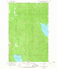
1964 · Pleasant Valley Mountain
USGS Topo · 1:24,000

1964 · Hubbart Reservoir
USGS Topo · 1:24,000