Loading...
Loading map...2021 Map of Marion
USGS Topo · Published 2021About this map
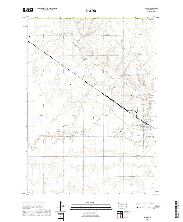
The West Fork Vermillion River meanders through this agricultural landscape in Turner County, defining the drainage patterns for the surrounding prairie. The settlement of Marion serves as the local hub, organized around a traditional street grid with N Broadway St and S Main Ave at its center. This modern survey reflects a deeply rooted rural community, where the land is strictly partitioned by a network of section roads like 271st St and 444th Ave.
Find a feature on this map
38 named features on this map. Tap any name to fly to it.
Don’t see what you’re looking for? This feature index may not catch every label — zoom into the map to look around manually.
Map Details
Date Portrayed2021
Date Published2021
PublisherU.S. Geological Survey
Map TypeTopographic
Scale1:24000
Physical Dimensions24 x 29 inches
Editions of this 2021 Marion Map
This is the sole edition of this map. No revisions or reprints were ever made.
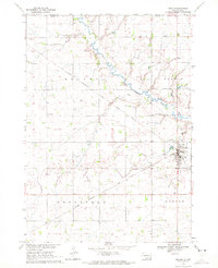
Historical Maps of Monroe Township Through Time
Featured Locations
- Union Township, SD
- Dolton Township, SD
- Marion Township, SD
- Rosefield Township, SD
- Marion, Marion Township
Source Details
SourceU.S. Geological Survey
CopyrightPublic Domain