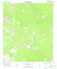
1973 Map of Marion
USGS Topo · Published 1977About this map
The industrial and agricultural landscape of Twiggs County is defined here by extensive clay mining operations, shown through numerous Claypit labels and a Tailings Pond. These excavations sit alongside the older rural fabric of the region, where family and community heritage is preserved in sites like the Wall Cem, Finch Cem, and O'Daniel Cem. The Seaboard Coast Line railroad cuts through the terrain, connecting small settlements such as Fitzpatrick, Ripley, and Marion.
Find a feature on this map
28 named features on this map. Tap any name to fly to it.
Don’t see what you’re looking for? This feature index may not catch every label — zoom into the map to look around manually.
Map Details
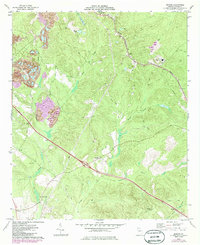
Editions of this 1973 Marion Map
2 editions found
Other maps of this area

1956 · Gordon
USGS Topo · 1:62,500

1956 · Warner Robins
USGS Topo · 1:62,500

1956 · Jeffersonville
USGS Topo · 1:62,500

1956 · Macon East
USGS Topo · 1:24,000

1956 · Macon
USGS Topo · 1:62,500

1957 · Macon
USGS Topo · 1:250,000

1958 · Macon
USGS Topo · 1:250,000

1964 · Macon
USGS Topo · 1:250,000

1973 · Massey Hill
USGS Topo · 1:24,000

1973 · Warner Robins NE
USGS Topo · 1:24,000