2023 Map of Marion West
USGS Topo · Published 2023About this map
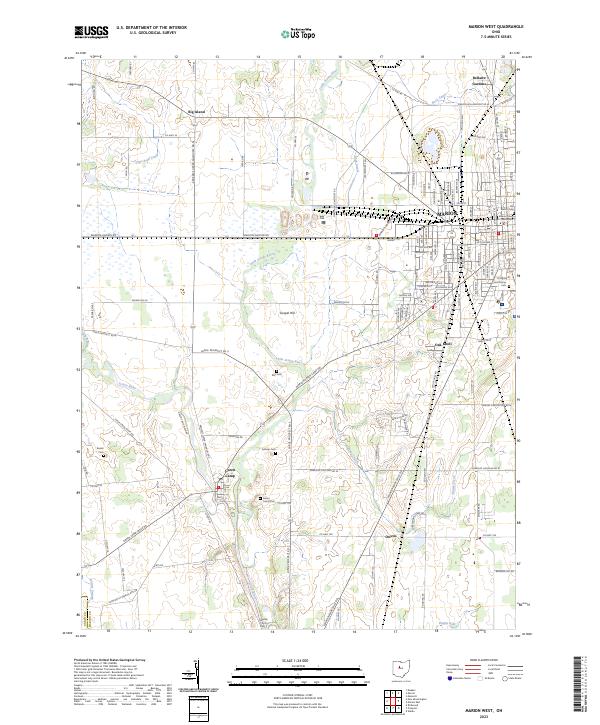
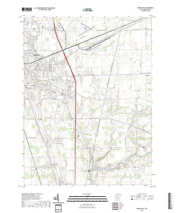
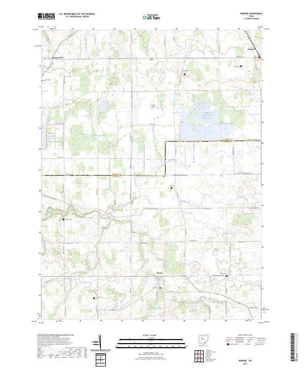
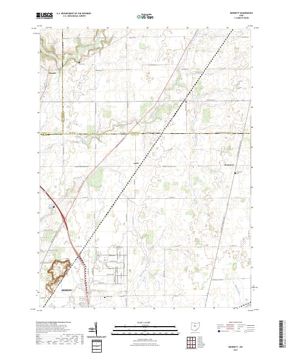
The confluence of the Little Scioto River and Scioto River dominates the western approach to Marion, where the CSX rail corridor cuts through a landscape defined by its agricultural roots and systematic township surveying. The city's core is anchored by the Marion County Courthouse, surrounded by established residential areas like Oak Knoll and the cemeteries of Marion Cem and Saint Marys Cem. Moving westward, the terrain transitions into the open drainage basins of Tymochtee Creek and Honey Creek, punctuated by small historic nodes such as Green Camp and Big Island. This map reveals a high concentration of family and community burial grounds, including the Rayl Cem, Markel Kirts Cem, and Reidel Cem, which provide essential points of reference for genealogists studying the rural expansion beyond the city limits. The presence of Gospel Hill and Willow Swamp further illustrates the varied topography found within the t5s r14e and t5s r15e survey blocks.
Find a feature on this map
129 named features on this map. Tap any name to fly to it.
Don’t see what you’re looking for? This feature index may not catch every label — zoom into the map to look around manually.
Map Details
Editions of this 2023 Marion West Map
This is the sole edition of this map. No revisions or reprints were ever made.
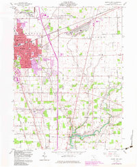
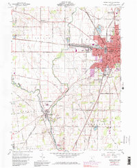
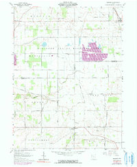
Historical Maps of Downtown Through Time
8 maps found
Featured Locations
- Big Island Township, OH
- Marion, OH
- Marion Township, OH
- Green Camp, Green Camp Township
- Big Island, Big Island Township