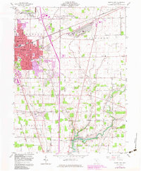
1961 Map of Marion East
USGS Topo · Published 1983About this map
Marion is depicted here as a major regional hub during a period of significant mid-century industrial and institutional expansion. The map highlights the sprawling Marion Engineer Depot and the Correctional Institution on the city's northern and eastern fringes, illustrating the land-use shifts of the early 1960s. Genealogists will find a wealth of burial records across the landscape, from the large central Marion Cemetery and Catholic Cemetery to smaller rural plots like Canaan Cemetery and Rupp Cemetery. The city's presidential legacy is preserved at the Harding Memorial and Harding Museum, while the burgeoning Ohio State University Marion Branch signals the community's academic growth. A complex network of Conrail and Norfolk and Western rail lines bisects the terrain, connecting the urban core to outlying hamlets like Claridon and Hoffman.
Find a feature on this map
58 named features on this map. Tap any name to fly to it.
Don’t see what you’re looking for? This feature index may not catch every label — zoom into the map to look around manually.
Map Details
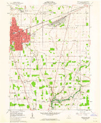
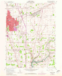
Editions of this 1961 Marion East Map
3 editions found
Other maps of this area

1903 · Marion
USGS Topo · 1:62,500

1905 · Marion
USGS Topo · 1:62,500

1913 · Mount Gilead
USGS Topo · 1:62,500

1915 · Marengo
USGS Topo · 1:62,500

1916 · Mount Gilead
USGS Topo · 1:62,500

1924 · Delaware
USGS Topo · 1:62,500

1925 · Delaware
USGS Topo · 1:62,500

1943 · Marengo
USGS Topo · 1:62,500

1943 · Mount Gilead
USGS Topo · 1:62,500

1944 · Delaware
USGS Topo · 1:62,500