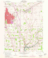
1961 Map of Marion East
USGS Topo · Published 1972About this map
The city of Marion dominates the western edge of this landscape, its urban footprint expanding as seen in 1970 revisions that highlight new growth near the Shopping Center and Harding High Sch. Historically significant landmarks like the Harding Memorial and Harding Museum sit south of the city center, while the Marion Cemetery and Old Marion Cem provide clear points for genealogical research. To the east, the landscape transitions into the agricultural reaches of Claridon, defined by the Olentangy River and the northern tip of the Delaware Reservoir. The area's mid-century infrastructure is anchored by a dense rail network including the Erie Lackawanna and Penn Central, alongside the sprawling Marion Municipal Airport and the Marion Correctional Institution. Numerous rural burial grounds like Graham Cem and Canaan Cem dot the countryside, marking early family landholdings.
Find a feature on this map
52 named features on this map. Tap any name to fly to it.
Don’t see what you’re looking for? This feature index may not catch every label — zoom into the map to look around manually.
Map Details
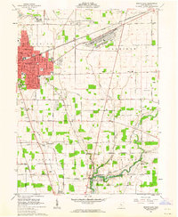
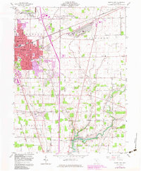
Editions of this 1961 Marion East Map
3 editions found
Other maps of this area

1903 · Marion
USGS Topo · 1:62,500

1905 · Marion
USGS Topo · 1:62,500

1913 · Mount Gilead
USGS Topo · 1:62,500

1915 · Marengo
USGS Topo · 1:62,500

1916 · Mount Gilead
USGS Topo · 1:62,500

1924 · Delaware
USGS Topo · 1:62,500

1925 · Delaware
USGS Topo · 1:62,500

1943 · Marengo
USGS Topo · 1:62,500

1943 · Mount Gilead
USGS Topo · 1:62,500

1944 · Delaware
USGS Topo · 1:62,500