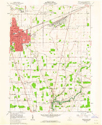
1961 Map of Marion East
USGS Topo · Published 1962About this map
The city of Marion dominates the northwestern corner of this early 1960s survey, showing its development as a major regional rail and industrial center. The landscape is defined by the intersection of the Erie Lackawanna and New York Central railroads, which serve the sprawling Marion Engineer Depot. Just south of the urban center, the Harding Memorial stands as a significant landmark, honoring the 29th U.S. President and his wife.
Find a feature on this map
78 named features on this map. Tap any name to fly to it.
Don’t see what you’re looking for? This feature index may not catch every label — zoom into the map to look around manually.
Map Details
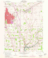
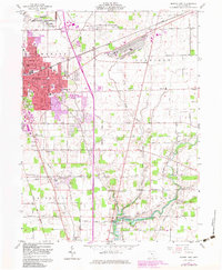
Editions of this 1961 Marion East Map
3 editions found
Other maps of this area

1903 · Marion
USGS Topo · 1:62,500

1905 · Marion
USGS Topo · 1:62,500

1913 · Mount Gilead
USGS Topo · 1:62,500

1915 · Marengo
USGS Topo · 1:62,500

1916 · Mount Gilead
USGS Topo · 1:62,500

1924 · Delaware
USGS Topo · 1:62,500

1925 · Delaware
USGS Topo · 1:62,500

1943 · Marengo
USGS Topo · 1:62,500

1943 · Mount Gilead
USGS Topo · 1:62,500

1944 · Delaware
USGS Topo · 1:62,500