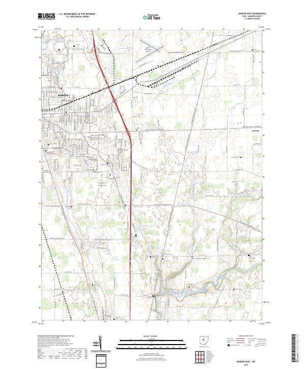
2023 Map of Marion East
USGS Topo · Published 2023About this map
The President Warren Harding Memorial stands as a significant historical landmark within the city of Marion, Ohio, highlighting the region's connection to the 29th U.S. president. This map reveals a landscape defined by an extensive network of small family and community burial grounds, including Ziller Family Cem, Canaan Cem, and Smith-Witzel Cem, which offer valuable points of interest for genealogists tracing local lineage. The transition from the urban streets of Marion to the surrounding agricultural plains is marked by institutions like the Ohio State University-Marion Campus and the Marion Municipal Airport. Beyond the city limits, the terrain is shaped by the winding courses of Qu Qua Creek and the Olentangy River, while the small settlement of Claridon sits at the eastern edge of the quadrangle, connected by roads such as Marion-Galion Rd.
Find a feature on this map
159 named features on this map. Tap any name to fly to it.
Don’t see what you’re looking for? This feature index may not catch every label — zoom into the map to look around manually.
Map Details
Editions of this 2023 Marion East Map
This is the sole edition of this map. No revisions or reprints were ever made.
Other maps of this area

1903 · Marion
USGS Topo · 1:62,500

1905 · Marion
USGS Topo · 1:62,500

1913 · Mount Gilead
USGS Topo · 1:62,500

1915 · Marengo
USGS Topo · 1:62,500

1916 · Mount Gilead
USGS Topo · 1:62,500

1924 · Delaware
USGS Topo · 1:62,500

1925 · Delaware
USGS Topo · 1:62,500

1943 · Marengo
USGS Topo · 1:62,500

1943 · Mount Gilead
USGS Topo · 1:62,500

1944 · Delaware
USGS Topo · 1:62,500