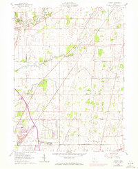
1961 Map of Monnett
USGS Topo · Published 1972About this map
The Old Indian Treaty Boundary cuts a diagonal path across this north-central Ohio landscape, a historical line that still influenced property and township divisions in the early 1960s. This survey area, where Wyandot, Crawford, and Marion counties converge, is defined by its agricultural character and the transition between the Sandusky River drainage to the north and the Little Scioto River and Rock Fork to the south. Small rural communities like Wyandot, Monnett, and Kirkpatrick serve as nodes along a grid of named local routes such as Marion Caldwell Road and Linn Hipsher Road. A substantial Quarry and a nearby Reservoir reflect the local industry, while the Penn Central railroad provides the primary industrial corridor through the township of Marion. Genealogists will find several small burial sites preserved here, including White Cem and Likens Cem near Likens Ch.
Find a feature on this map
39 named features on this map. Tap any name to fly to it.
Don’t see what you’re looking for? This feature index may not catch every label — zoom into the map to look around manually.
Map Details
Editions of this 1961 Monnett Map
2 editions found
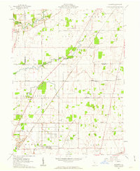
Other maps of this area

1903 · Marion
USGS Topo · 1:62,500

1905 · Marion
USGS Topo · 1:62,500

1906 · Sycamore
USGS Topo · 1:62,500

1913 · Mount Gilead
USGS Topo · 1:62,500

1915 · Bucyrus
USGS Topo · 1:62,500

1916 · Mount Gilead
USGS Topo · 1:62,500

1943 · Bucyrus
USGS Topo · 1:62,500

1943 · Mount Gilead
USGS Topo · 1:62,500

1950 · Marion
USGS Topo · 1:250,000

1960 · Oceola
USGS Topo · 1:24,000