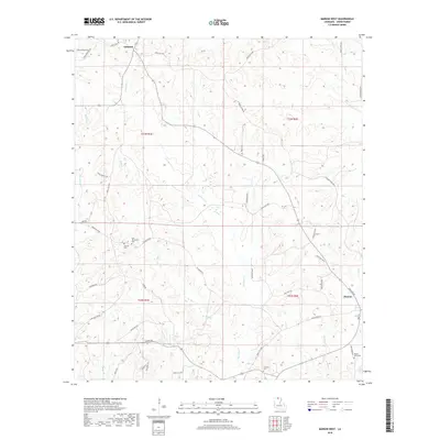
2018 Map of Marion West
USGS Topo · Published 2018About this map
Marion anchors the southeastern corner of this Union Parish survey, marking a transition from the town center at Main St to the surrounding timberlands and creek bottoms. The landscape is defined by an intricate network of waterways, including Big Cane Cr and Meridian Cr, which drain the varied elevations of the t22n r1e and t23n r1e townships. North of the town, the settlement of Oakland sits near the junction of Spring Hill Rd and Parish Rd 6686.
Find a feature on this map
54 named features on this map. Tap any name to fly to it.
Don’t see what you’re looking for? This feature index may not catch every label — zoom into the map to look around manually.
Map Details
Editions of this 2018 Marion West Map
This is the sole edition of this map. No revisions or reprints were ever made.
Other maps of this area

1933 · Strong
USGS Topo · 1:62,500

1934 · Felsenthal
USGS Topo · 1:62,500

1935 · Haile
USGS Topo · 1:62,500

1937 · Strong
USGS Topo · 1:62,500

1937 · Felsenthal
USGS Topo · 1:62,500

1938 · Felsenthal
USGS Topo · 1:62,500

1939 · Felsenthal
USGS Topo · 1:62,500

1939 · Strong
USGS Topo · 1:62,500

1952 · Farmerville
USGS Topo · 1:62,500

1953 · El Dorado
USGS Topo · 1:250,000