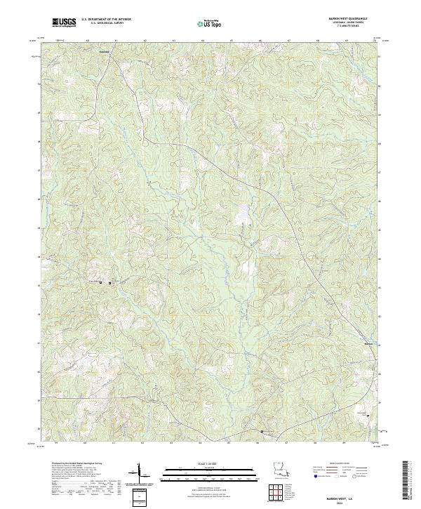
2024 Map of Marion West
USGS Topo · Published 2024About this map
Oakland and the western outskirts of Marion anchor this landscape in Union Parish, where the terrain is defined by a dense network of tributaries including Big Cane Creek and Meridian Creek. The map provides significant value for genealogists and local historians, documenting several rural burial sites such as Antioch Cem and the Old Tennessee Cem near Tick Creek. The road network is primarily composed of established parish routes like Tennessee Rd and Oakland Rd, which connect the small clusters of homes and family-named landmarks. The southeastern portion of the quadrangle includes the Roark Allen Cem and the headwaters of Beaver Creek, reflecting the traditional rural settlement patterns of northern Louisiana near the state line.
Find a feature on this map
52 named features on this map. Tap any name to fly to it.
Don’t see what you’re looking for? This feature index may not catch every label — zoom into the map to look around manually.
Map Details
Editions of this 2024 Marion West Map
This is the sole edition of this map. No revisions or reprints were ever made.
Other maps of this area

1933 · Strong
USGS Topo · 1:62,500

1934 · Felsenthal
USGS Topo · 1:62,500

1935 · Haile
USGS Topo · 1:62,500

1937 · Strong
USGS Topo · 1:62,500

1937 · Felsenthal
USGS Topo · 1:62,500

1938 · Felsenthal
USGS Topo · 1:62,500

1939 · Felsenthal
USGS Topo · 1:62,500

1939 · Strong
USGS Topo · 1:62,500

1952 · Farmerville
USGS Topo · 1:62,500

1953 · El Dorado
USGS Topo · 1:250,000