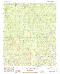
1988 Map of Marion West
USGS Topo · Published 1988About this map
Oakland and the western edge of Marion define the human footprint on this 1980s landscape in Union Parish, where the topography is heavily shaped by an intricate network of waterways. The terrain is dominated by the drainage systems of Big Cane Creek and Tick Creek, which carve through the dense wooded areas of northern Louisiana. This era of the late twentieth century shows a landscape transitioning between traditional rural settlement and industrial utility, evidenced by the large Gas Field occupying the southeastern portion of the map.
Find a feature on this map
16 named features on this map. Tap any name to fly to it.
Don’t see what you’re looking for? This feature index may not catch every label — zoom into the map to look around manually.
Map Details
Editions of this 1988 Marion West Map
This is the sole edition of this map. No revisions or reprints were ever made.
Other maps of this area
1933 · Strong
USGS Topo · 1:62,500
1934 · Felsenthal
USGS Topo · 1:62,500
1935 · Haile
USGS Topo · 1:62,500
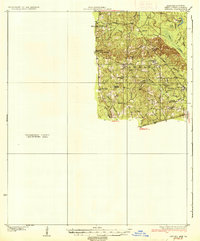
1937 · Strong
USGS Topo · 1:62,500
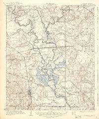
1937 · Felsenthal
USGS Topo · 1:62,500
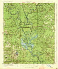
1938 · Felsenthal
USGS Topo · 1:62,500
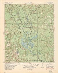
1939 · Felsenthal
USGS Topo · 1:62,500
1939 · Strong
USGS Topo · 1:62,500
1952 · Farmerville
USGS Topo · 1:62,500

1953 · El Dorado
USGS Topo · 1:250,000