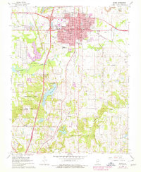
1966 Map of Marion
USGS Topo · Published 1978About this map
The city of Marion stands as a central hub of Williamson County on this survey, where the urban grid meets a landscape heavily influenced by mid-century infrastructure and conservation. To the west and south, the expansive Crab Orchard National Wildlife Refuge and the Federal Penitentiary dominate the terrain, reflecting the federal government's significant footprint in the area. The map reveals a transition in transportation and industry, with the Crab Orchard & Egyptian railroad and Burlington Northern lines serving the region, alongside active Strip Mine operations to the north.
Find a feature on this map
53 named features on this map. Tap any name to fly to it.
Don’t see what you’re looking for? This feature index may not catch every label — zoom into the map to look around manually.
Map Details
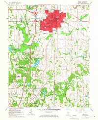
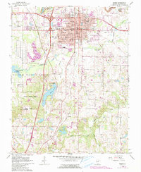
Editions of this 1966 Marion Map
3 editions found
Other maps of this area

1909 · West Frankfort
USGS Topo · 1:62,500

1910 · Herrin
USGS Topo · 1:62,500

1922 · Carbondale
USGS Topo · 1:62,500

1925 · Marion
USGS Topo · 1:62,500

1936 · Herrin
USGS Topo · 1:62,500

1940 · Marion
USGS Topo · 1:62,500

1941 · Carbondale
USGS Topo · 1:62,500

1941 · West Frankfort
USGS Topo · 1:62,500

1949 · Paducah
USGS Topo · 1:250,000

1950 · Paducah
USGS Topo · 1:250,000