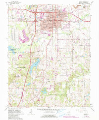
1966 Map of Marion
USGS Topo · Published 1990About this map
Marion serves as the bustling focal point of this Williamson County landscape, where the intersection of Interstate 57 and Illinois 13 reflects the region's mid-century modernization. The city center is densely detailed, featuring the Courthouse, City Hall, and numerous neighborhood landmarks like Longfellow Sch and Lincoln Sch. To the north, a significant Strip Mine and the IOOF Cemetery sit at the city's edge, while the southwest is dominated by the sprawling Crab Orchard National Wildlife Refuge. This protected area includes the Federal Penitentiary and the waters of Crab Orchard Creek. Rural life persists in the outlying southern reaches, marked by small settlements like Hudgens and Neilson, and quiet country congregations at Fountain Ch and Ralls Grove Ch. The presence of the VA Hospital and the Marion Reservoir highlights the critical infrastructure supporting this southern Illinois community during the late 1960s.
Find a feature on this map
49 named features on this map. Tap any name to fly to it.
Don’t see what you’re looking for? This feature index may not catch every label — zoom into the map to look around manually.
Map Details
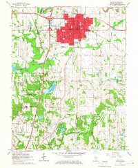
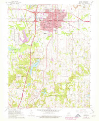
Editions of this 1966 Marion Map
3 editions found
Other maps of this area

1909 · West Frankfort
USGS Topo · 1:62,500

1910 · Herrin
USGS Topo · 1:62,500

1922 · Carbondale
USGS Topo · 1:62,500

1925 · Marion
USGS Topo · 1:62,500

1936 · Herrin
USGS Topo · 1:62,500

1940 · Marion
USGS Topo · 1:62,500

1941 · Carbondale
USGS Topo · 1:62,500

1941 · West Frankfort
USGS Topo · 1:62,500

1949 · Paducah
USGS Topo · 1:250,000

1950 · Paducah
USGS Topo · 1:250,000