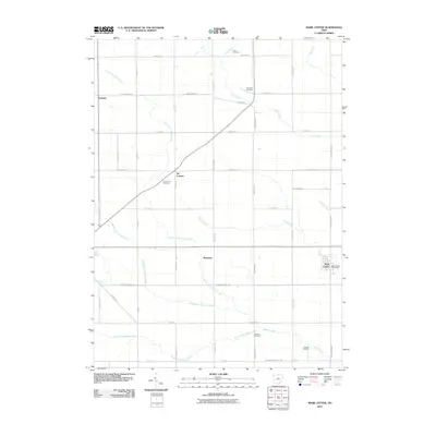
2010 Map of Mark Center
USGS Topo · Published 2010About this map
Mark Center serves as a primary hub for this rural portion of Defiance County, anchored by the Mark Center Post Office near the junction of local thoroughfares. The landscape is defined by the branching tributaries of the Gordon Creek system, including the North Fork Gordon Creek, Middle Fork Gordon Creek, and South Fork Gordon Creek. This network of waterways dictates the placement of early settlements and family burial grounds that dot the agricultural grid.
Find a feature on this map
32 named features on this map. Tap any name to fly to it.
Don’t see what you’re looking for? This feature index may not catch every label — zoom into the map to look around manually.
Map Details
Editions of this 2010 Mark Center Map
This is the sole edition of this map. No revisions or reprints were ever made.
Other maps of this area

1914 · Bryan
USGS Topo · 1:62,500

1914 · Paulding
USGS Topo · 1:62,500

1943 · Bryan
USGS Topo · 1:62,500

1944 · Paulding
USGS Topo · 1:62,500

1953 · Fort Wayne
USGS Topo · 1:250,000

1956 · Fort Wayne
USGS Topo · 1:250,000

1958 · Hicksville
USGS Topo · 1:24,000

1958 · Woodburn North
USGS Topo · 1:24,000

1958 · Butler East
USGS Topo · 1:24,000

1960 · Sherwood
USGS Topo · 1:24,000