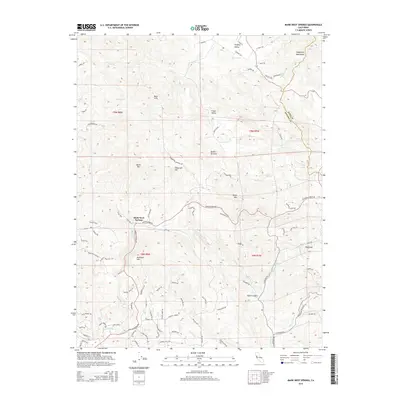
2015 Map of Mark West Springs
USGS Topo · Published 2015About this map
Mark West Springs serves as a central point in this landscape where the boundaries of Napa Co and Sonoma Co converge. The terrain is defined by the high ridges of the Mayacmas Mountains and Sugarloaf, dropping into the fertile reaches of Knights Valley and Franz Valley. This era of the mid-2010s shows a complex network of rural routes like Porter Creek Rd and Calistoga Rd that connect isolated settlements and preserves.
Find a feature on this map
96 named features on this map. Tap any name to fly to it.
Don’t see what you’re looking for? This feature index may not catch every label — zoom into the map to look around manually.
Map Details
Editions of this 2015 Mark West Springs Map
This is the sole edition of this map. No revisions or reprints were ever made.
Other maps of this area

1916 · Santa Rosa
USGS Topo · 1:62,500

1920 · Healdsburg
USGS Topo · 1:62,500

1927 · Calistoga
USGS Topo · 1:62,500

1933 · Healdsburg
USGS Topo · 1:48,000

1935 · Sebastopol
USGS Topo · 1:48,000

1940 · Healdsburg
USGS Topo · 1:62,500

1942 · Sebastopol
USGS Topo · 1:62,500

1943 · Calistoga
USGS Topo · 1:62,500

1944 · Santa Rosa
USGS Topo · 1:62,500

1945 · Calistoga
USGS Topo · 1:62,500