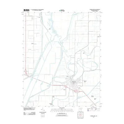
2011 Map of Marked Tree
USGS Topo · Published 2011About this map
The Saint Francis River and the Left Hand Chute of Little River converge at Marked Tree, creating a landscape defined by waterway junctions and low-lying topography in Poinsett County. This 2011 survey captures a region where agriculture and river management coexist, evidenced by the St Francis Levee Rd and the Lock and Dam Rd. The town itself is an established hub, featuring the Marked Tree Municipal Airport and a grid of streets including Division St and Sneed St.
Find a feature on this map
73 named features on this map. Tap any name to fly to it.
Don’t see what you’re looking for? This feature index may not catch every label — zoom into the map to look around manually.
Map Details
Editions of this 2011 Marked Tree Map
This is the sole edition of this map. No revisions or reprints were ever made.
Other maps of this area

1940 · Deckerville
USGS Topo · 1:62,500

1940 · Princedale
USGS Topo · 1:62,500

1940 · Dee
USGS Topo · 1:62,500

1941 · Marked Tree
USGS Topo · 1:62,500

1953 · Memphis
USGS Topo · 1:250,000

1956 · Marked Tree
USGS Topo · 1:62,500

1956 · Memphis
USGS Topo · 1:250,000

1956 · Princedale
USGS Topo · 1:62,500

1957 · Deckerville
USGS Topo · 1:62,500

1958 · Dee
USGS Topo · 1:62,500