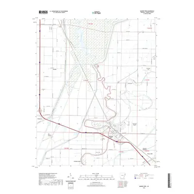
2020 Map of Marked Tree
USGS Topo · Published 2020About this map
Marked Tree serves as the central hub of this Poinsett County landscape, situated where the meandering Saint Francis River and the Tyronza River converge. The area is defined by its sophisticated water management systems, including the expansive Oak Donnick Floodway and several drainage channels like Ditch Number 1. Small rail-aligned settlements and rural junctions punctuate the terrain, from Tulot in the north to Tyronza Junction and Dewey Mill in the southeast.
Find a feature on this map
96 named features on this map. Tap any name to fly to it.
Don’t see what you’re looking for? This feature index may not catch every label — zoom into the map to look around manually.
Map Details
Editions of this 2020 Marked Tree Map
This is the sole edition of this map. No revisions or reprints were ever made.
Other maps of this area

1940 · Deckerville
USGS Topo · 1:62,500
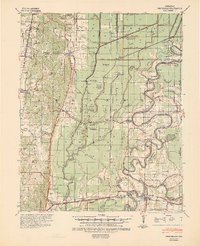
1940 · Princedale
USGS Topo · 1:62,500
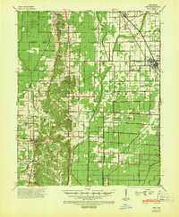
1940 · Dee
USGS Topo · 1:62,500

1941 · Marked Tree
USGS Topo · 1:62,500

1953 · Memphis
USGS Topo · 1:250,000
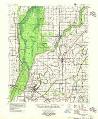
1956 · Marked Tree
USGS Topo · 1:62,500

1956 · Memphis
USGS Topo · 1:250,000
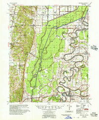
1956 · Princedale
USGS Topo · 1:62,500
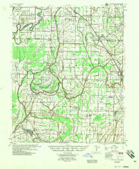
1957 · Deckerville
USGS Topo · 1:62,500
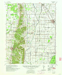
1958 · Dee
USGS Topo · 1:62,500