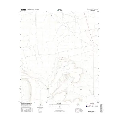
2016 Map of Marlboro Canyon
USGS Topo · Published 2016About this map
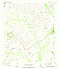
King Mtn dominates the southwestern portion of this West Texas landscape, rising sharply above the surrounding Edwards Plateau. The topographic detail reveals the intricate erosion patterns of Marlboro Canyon and the seasonal drainage of Mayfield Draw, which cuts through the arid terrain. This U.S. Geological Survey 2016 edition provides a look at the modern land use in Upton County, where a sparse network of service roads reflects the region's ranching and energy infrastructure. Established routes like King Mountain Rd and various county roads, including Co Rd 300 and Co Rd 490, navigate the mesas and draws, showing how human activity adapts to the severe shifts in elevation and the natural breaks in the limestone ridges.
Find a feature on this map
9 named features on this map. Tap any name to fly to it.
Don’t see what you’re looking for? This feature index may not catch every label — zoom into the map to look around manually.
Map Details
Editions of this 2016 Marlboro Canyon Map
This is the sole edition of this map. No revisions or reprints were ever made.
Other maps of this area

1928 · Crane
USGS Topo · 1:125,000

1954 · Pecos
USGS Topo · 1:250,000

1957 · Pecos
USGS Topo · 1:250,000
1971 · Hanks Ranch
USGS Topo · 1:24,000

1971 · McElroy Ranch
USGS Topo · 1:24,000
1971 · Marlboro Canyon SE
USGS Topo · 1:24,000

1971 · Marlboro Canyon
USGS Topo · 1:24,000

1972 · Girvin NE
USGS Topo · 1:24,000
1972 · McCamey North
USGS Topo · 1:24,000
1972 · Square Top Mountain
USGS Topo · 1:24,000