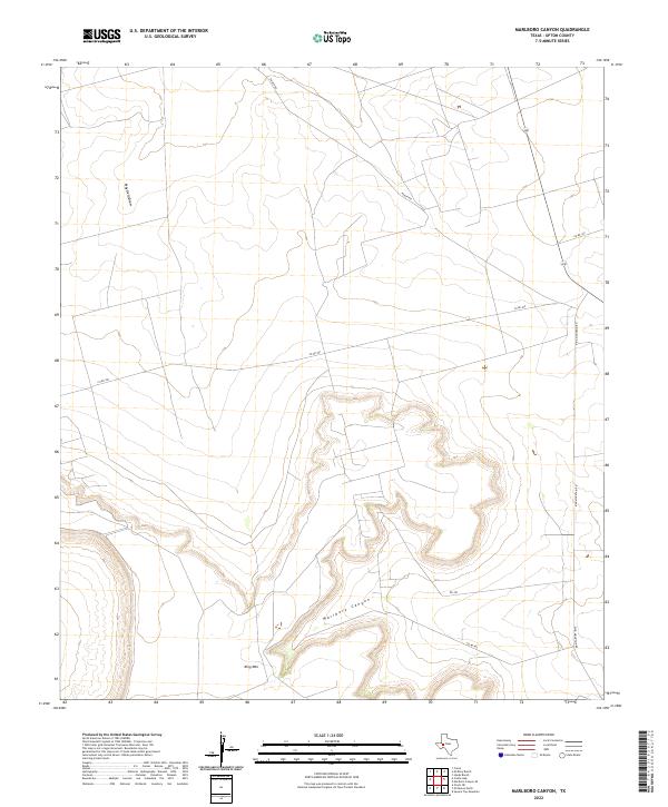
2022 Map of Marlboro Canyon
USGS Topo · Published 2022About this map
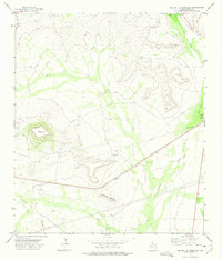
Marlboro Canyon and the high elevations of King Mtn dominate this West Texas landscape in Upton County. The terrain is defined by the sharp descent of the canyon walls and the intermittent drainage of Mayfield Draw, which cuts through the northern portion of the quadrangle. This 2022 survey illustrates a sparsely settled region primarily organized around ranching and transit infrastructure. A network of rural routes, including Ranch Rd, Co Rd 300, and King Mountain Rd, navigate the plateaus and valley floors, providing access to the rugged interior. The map captures the specialized geography of the Permian Basin periphery, where large-scale landholdings are connected by long stretches of gravel and paved county roads.
Find a feature on this map
9 named features on this map. Tap any name to fly to it.
Don’t see what you’re looking for? This feature index may not catch every label — zoom into the map to look around manually.
Map Details
Editions of this 2022 Marlboro Canyon Map
This is the sole edition of this map. No revisions or reprints were ever made.
Other maps of this area

1928 · Crane
USGS Topo · 1:125,000

1954 · Pecos
USGS Topo · 1:250,000

1957 · Pecos
USGS Topo · 1:250,000
1971 · Hanks Ranch
USGS Topo · 1:24,000

1971 · McElroy Ranch
USGS Topo · 1:24,000
1971 · Marlboro Canyon SE
USGS Topo · 1:24,000

1971 · Marlboro Canyon
USGS Topo · 1:24,000

1972 · Girvin NE
USGS Topo · 1:24,000
1972 · McCamey North
USGS Topo · 1:24,000
1972 · Square Top Mountain
USGS Topo · 1:24,000