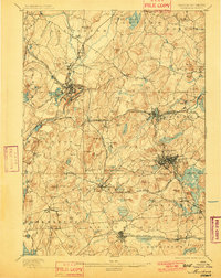
1898 Map of Marlboro
USGS Topo · Published 1901About this map
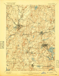
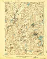
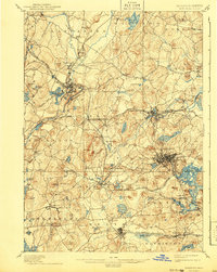
Marlboro and its surrounding townships appear as a sophisticated network of industrial and agricultural centers in the late nineteenth century. The landscape is heavily defined by the expansion of the Boston and Albany Railroad and the New York New Haven and Hartford Railroad, which facilitated the growth of manufacturing hubs like Clinton and Westboro. In the northeast, the Assabet River winds through Hudson and Stow, while the western edge is marked by the Nashua River and the high elevations of Ballard Hill.
Find a feature on this map
142 named features on this map. Tap any name to fly to it.
Don’t see what you’re looking for? This feature index may not catch every label — zoom into the map to look around manually.
Map Details
Editions of this 1898 Marlboro Map
8 editions found

Other maps of this area

1885 · Worcester
USGS Topo · 1:62,500

1886 · Worcester
USGS Topo · 1:62,500

1886 · Blackstone
USGS Topo · 1:62,500

1886 · Lowell
USGS Topo · 1:62,500

1886 · Framingham
USGS Topo · 1:62,500

1887 · Franklin
USGS Topo · 1:62,500

1887 · Marlboro
USGS Topo · 1:62,500

1887 · Fitchburg
USGS Topo · 1:62,500

1889 · Marlboro
USGS Topo · 1:62,500

1889 · Blackstone
USGS Topo · 1:62,500