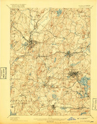
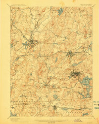
1898 Map of Marlboro
USGS Topo · Published 1917About this map
Marlboro and Hudson emerge as significant industrial and transportation hubs in this late 19th-century survey of the Central Massachusetts landscape. The region is defined by a dense network of rail lines, including the Central Massachusetts Division and the New York New Haven and Hartford Railroad, which connect established manufacturing centers with smaller villages like Rockbottom and Fayville. The terrain is marked by numerous named hills such as Mt Pisgah and Ghost Hill, illustrating the complex topography that early engineers navigated to lay track and build reservoirs.
Find a feature on this map
141 named features on this map. Tap any name to fly to it.
Don’t see what you’re looking for? This feature index may not catch every label — zoom into the map to look around manually.
Map Details
Editions of this 1898 Marlboro Map
8 editions found

Other maps of this area

1885 · Worcester
USGS Topo · 1:62,500

1886 · Worcester
USGS Topo · 1:62,500

1886 · Blackstone
USGS Topo · 1:62,500

1886 · Lowell
USGS Topo · 1:62,500

1886 · Framingham
USGS Topo · 1:62,500

1887 · Franklin
USGS Topo · 1:62,500

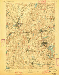
1887 · Marlboro
USGS Topo · 1:62,500

1887 · Fitchburg
USGS Topo · 1:62,500

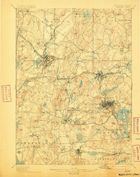
1889 · Marlboro
USGS Topo · 1:62,500

1889 · Blackstone
USGS Topo · 1:62,500