
1898 Map of Marlboro
USGS Topo · Published 1898About this map
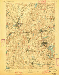
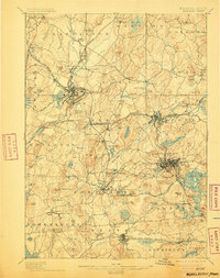
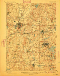
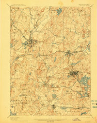
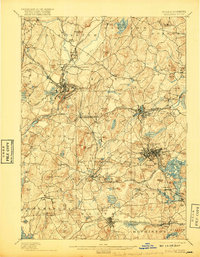
Industrial and transport hubs define this late 19th-century landscape of Worcester County, where the Nashua River and Assabet River valleys are dense with rail infrastructure. Major junctions like Clinton and Marlboro serve as critical nexus points for several competing lines, including the Boston and Maine Railroad and the New York New Haven and Hartford Railroad. The map reveals the intricate development of smaller manufacturing and agricultural hamlets such as Rockbottom, South Lancaster, and Chapinville before suburban expansion altered their individual characters.
Find a feature on this map
149 named features on this map. Tap any name to fly to it.
Don’t see what you’re looking for? This feature index may not catch every label — zoom into the map to look around manually.
Map Details
Editions of this 1898 Marlboro Map
8 editions found
Other maps of this area

1885 · Worcester
USGS Topo · 1:62,500

1886 · Worcester
USGS Topo · 1:62,500

1886 · Blackstone
USGS Topo · 1:62,500

1886 · Lowell
USGS Topo · 1:62,500

1886 · Framingham
USGS Topo · 1:62,500

1887 · Franklin
USGS Topo · 1:62,500

1887 · Marlboro
USGS Topo · 1:62,500

1887 · Fitchburg
USGS Topo · 1:62,500

1889 · Marlboro
USGS Topo · 1:62,500

1889 · Blackstone
USGS Topo · 1:62,500