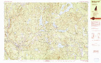
1984 Map of Marlborough
USGS Topo · Published 1984About this map
Harrisville and Dublin anchor this mid-1980s landscape in Cheshire County, where industrial heritage meets academic life. The mapping shows a dense network of water resources that once powered New England manufacturing, including Silver Lake, Harrisville Pond, and the Howe Reservoir. Notable cultural sites such as the Dublin Christian Academy and the Dublin Spire are marked alongside local burying grounds like Pine Grove Cem and Rhodes Cem. The terrain is characterized by a series of prominent peaks and ridges, including Skatutakee Mtn and Hinds Hill, which hem in the numerous ponds and bogs that define the region's hydrology. Public lands like Otter Brook State Park and the Leighton State Forest illustrate the area's protected woodlands, while the presence of a Quarry near Marlborough points to the local extraction industry of the era.
Find a feature on this map
96 named features on this map. Tap any name to fly to it.
Don’t see what you’re looking for? This feature index may not catch every label — zoom into the map to look around manually.
Map Details
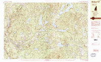
Editions of this 1984 Marlborough Map
2 editions found
Other maps of this area

1898 · Monadnock
USGS Topo · 1:62,500

1898 · Keene
USGS Topo · 1:62,500

1900 · Peterboro
USGS Topo · 1:62,500

1926 · Hillsboro
USGS Topo · 1:62,500

1927 · Bellows Falls
USGS Topo · 1:48,000

1929 · Hillsboro
USGS Topo · 1:62,500

1930 · Lovewell Mountain
USGS Topo · 1:62,500

1930 · Bellows Falls
USGS Topo · 1:62,500

1932 · Keene
USGS Topo · 1:62,500
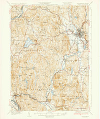
1935 · Keene
USGS Topo · 1:62,500