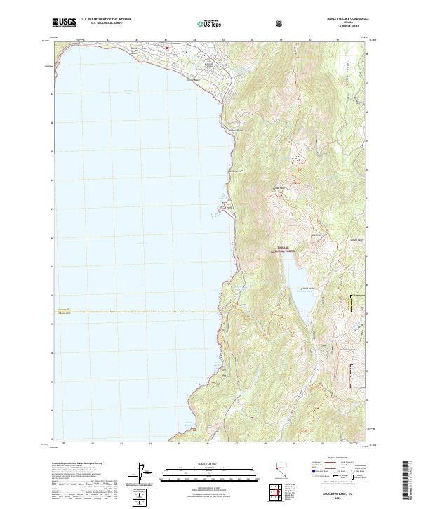
2021 Map of Marlette Lake
USGS Topo · Published 2021About this map
Lake Tahoe and its shoreline form the heart of this Nevada landscape, where the waters of Crystal Bay meet the steep slopes of the Carson Range. This 2021 record captures the high-elevation basin containing Marlette Lake and the Marlette Reservoir, critical features for water management in the region. The map highlights the transition from the lakeside community of Incline Beach, which includes the Sierra Nevada College campus, to the protected wilderness within the Toiyabe National Forest.
Find a feature on this map
43 named features on this map. Tap any name to fly to it.
Don’t see what you’re looking for? This feature index may not catch every label — zoom into the map to look around manually.
Map Details
Editions of this 2021 Marlette Lake Map
This is the sole edition of this map. No revisions or reprints were ever made.
Other maps of this area

1891 · Carson
USGS Topo · 1:125,000

1891 · Truckee
USGS Topo · 1:125,000

1893 · Carson
USGS Topo · 1:125,000

1893 · Truckee
USGS Topo · 1:125,000

1895 · Truckee
USGS Topo · 1:125,000

1932 · Truckee
USGS Topo · 1:96,000

1940 · Truckee
USGS Topo · 1:125,000

1950 · Mt. Rose
USGS Topo · 1:62,500

1952 · Mt. Rose
USGS Topo · 1:62,500
1955 · Meeks Bay
USGS Topo · 1:24,000