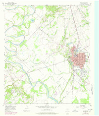
1957 Map of Marlin
USGS Topo · Published 1978About this map
The town of Marlin serves as the central hub of this East Texas survey, established on the eastern banks of the Brazos River and its complex network of seasonal sloughs and creeks. The landscape is defined by the river’s meandering path, which has created features like McCullough Slough, Barganier Slough, and Buie Lake in the fertile bottomlands. These water systems are supplemented by man-made engineering including Red Ditch, illustrating a history of water management for the surrounding agricultural terrain.
Find a feature on this map
36 named features on this map. Tap any name to fly to it.
Don’t see what you’re looking for? This feature index may not catch every label — zoom into the map to look around manually.
Map Details
Editions of this 1957 Marlin Map
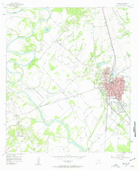
3 editions found
Other maps of this area

1892 · Temple
USGS Topo · 1:125,000

1954 · Waco
USGS Topo · 1:250,000

1955 · Waco
USGS Topo · 1:250,000

1957 · Otto
USGS Topo · 1:24,000

1957 · McClanahan
USGS Topo · 1:24,000

1957 · Riesel
USGS Topo · 1:24,000

1957 · Chilton
USGS Topo · 1:24,000

1957 · Marlin
USGS Topo · 1:24,000
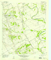
1957 · Robinson
USGS Topo · 1:24,000

1962 · Reagan
USGS Topo · 1:24,000