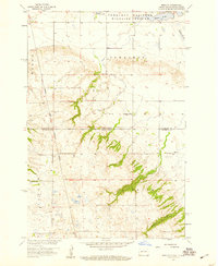
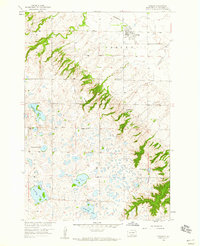
1958 Map of Marlow
USGS Topo · Published 1959About this map
The Sisseton Indian Reservation Boundary cuts across this prairie landscape, marking a significant jurisdictional line through the borderlands of North Dakota and South Dakota. In the northern reaches, the Tewaukon National Wildlife Refuge encompasses a series of water bodies including Clouds Lake, White Lake, and Quandt Slough, illustrating the importance of these wetlands for regional conservation during the late 1950s.
Find a feature on this map
14 named features on this map. Tap any name to fly to it.
Don’t see what you’re looking for? This feature index may not catch every label — zoom into the map to look around manually.
Map Details
Editions of this 1958 Marlow Map
2 editions found
Other maps of this area
1907 · Wyndmere
USGS Topo · 1:125,000
1953 · Milbank
USGS Topo · 1:250,000

1953 · Fargo
USGS Topo · 1:250,000
1954 · Kidder SE
USGS Topo · 1:24,000

1956 · Fargo
USGS Topo · 1:250,000
1956 · Havana
USGS Topo · 1:24,000
1958 · Milbank
USGS Topo · 1:250,000
1958 · Hillhead
USGS Topo · 1:24,000
1958 · Veblen
USGS Topo · 1:24,000
1958 · Rutland
USGS Topo · 1:24,000