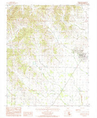
1984 Map of Marmaduke
USGS Topo · Published 1984About this map
Crowleys Ridge dominates the western half of this 1980s landscape, providing a sharp topographical contrast to the low-lying plains to the east. The city of Marmaduke sits at the edge of this transition, served by a network of drainage systems that define the rural economy. Significant watercourses like Hurricane Creek and Culver Creek wind through the area, while the smaller settlement of Henderson appears in the southern portion of the quadrangle.
Find a feature on this map
12 named features on this map. Tap any name to fly to it.
Don’t see what you’re looking for? This feature index may not catch every label — zoom into the map to look around manually.
Map Details
Editions of this 1984 Marmaduke Map
2 editions found
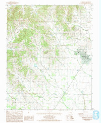
Other maps of this area

1935 · Rector
USGS Topo · 1:62,500

1935 · Knobel
USGS Topo · 1:62,500

1940 · Gainesville
USGS Topo · 1:62,500

1940 · Marmaduke
USGS Topo · 1:62,500

1941 · Knobel
USGS Topo · 1:62,500

1957 · Poplar Bluff
USGS Topo · 1:250,000

1958 · Marmaduke
USGS Topo · 1:62,500

1958 · Gainesville
USGS Topo · 1:62,500

1958 · Rector
USGS Topo · 1:62,500

1959 · Poplar Bluff
USGS Topo · 1:250,000