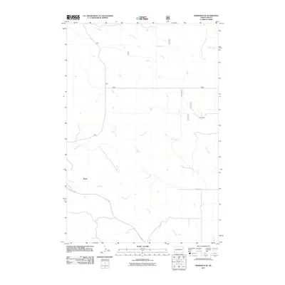
2011 Map of Marmarth SE
USGS Topo · Published 2011About this map
Mazda sits at a crossroads of rural routes in this section of Slope County, where the plains are defined by a network of seasonal drainages. The landscape is dominated by the meandering paths of Indian Creek in the north and Hay Creek in the south, illustrating the subtle topography of the North Dakota badlands fringe. Settlement patterns here are sparse, centered on large landholdings like the Merz Ranch and connected by historic thoroughfares such as Fort Dilts Rd, which traces a path across the southern portion of the quadrangle. The map reveals the infrastructure of a remote ranching economy, where numbered section roads like 784 and 78414 form a stark grid against the natural curves of Bacon Creek and Worser Creek.
Find a feature on this map
15 named features on this map. Tap any name to fly to it.
Don’t see what you’re looking for? This feature index may not catch every label — zoom into the map to look around manually.
Map Details
Editions of this 2011 Marmarth SE Map
This is the sole edition of this map. No revisions or reprints were ever made.
Other maps of this area

1953 · Dickinson
USGS Topo · 1:250,000

1957 · Dickinson
USGS Topo · 1:250,000

1973 · Kid Creek
USGS Topo · 1:24,000

1973 · Cedar Hills
USGS Topo · 1:24,000

1973 · Rhame
USGS Topo · 1:24,000

1979 · Ives
USGS Topo · 1:24,000

1980 · Pretty Butte
USGS Topo · 1:24,000

1980 · Marmarth
USGS Topo · 1:24,000

1980 · Boyce Creek West
USGS Topo · 1:24,000

1981 · Bowman
USGS Topo · 1:100,000